

South America Water from Space
Belem, Para, Brazil
29 Oct-2 Nov 2024
Watch the conference online:
SGB Youtube channel
-
Check the conference program and click to watch the conference online:
SGB Youtube channel
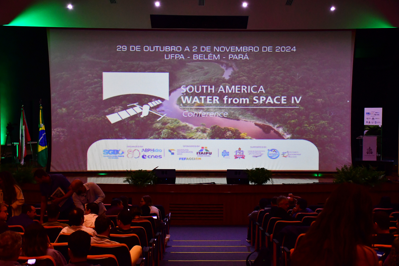
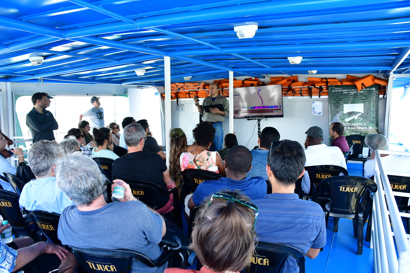
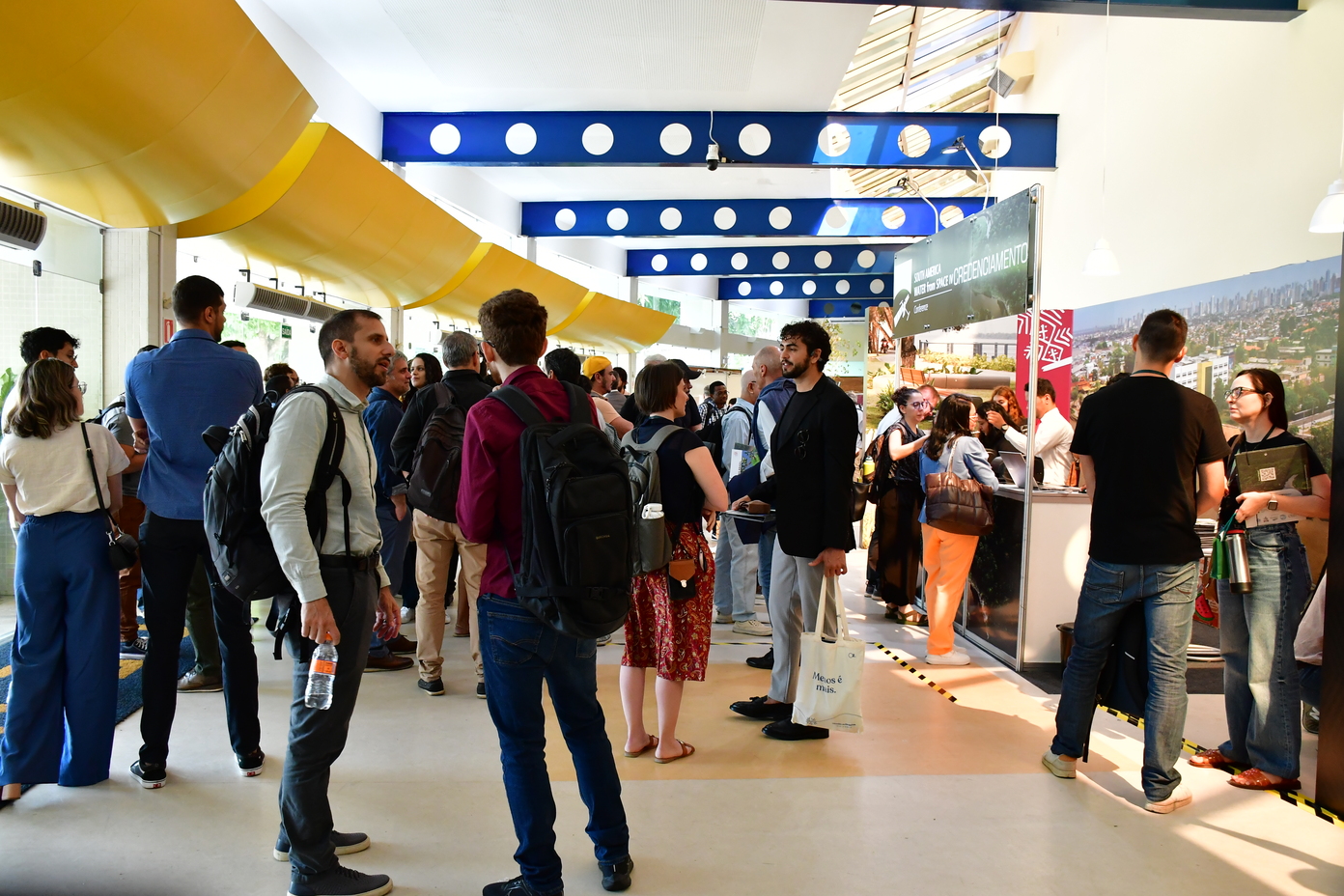
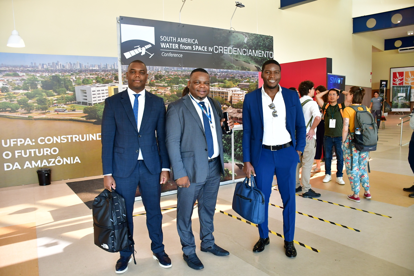
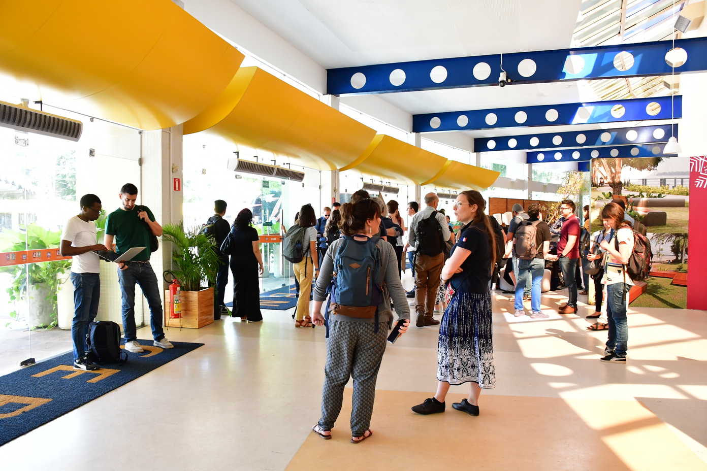
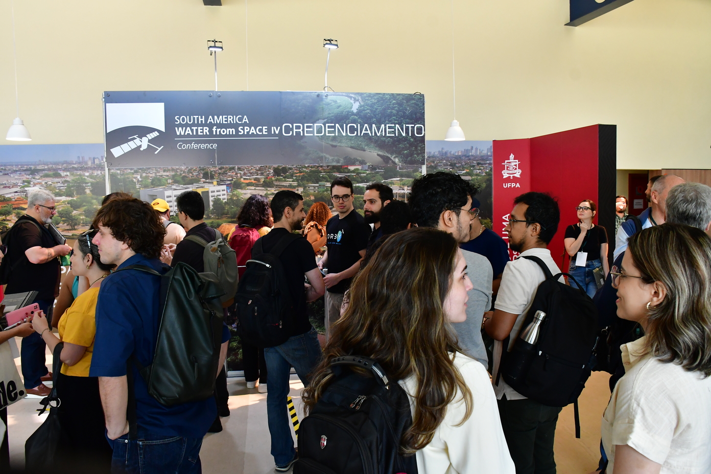
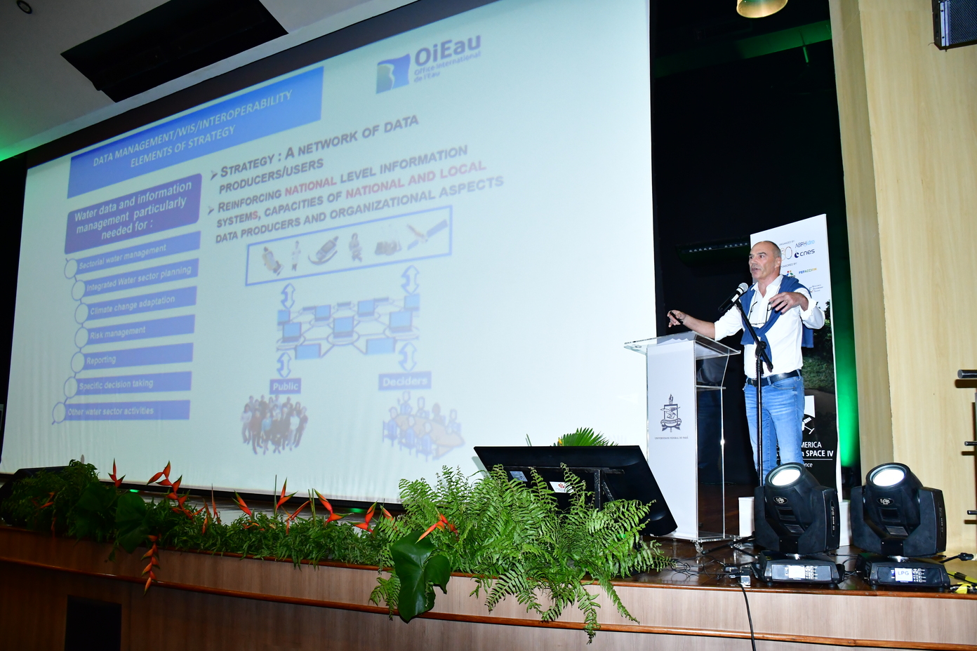
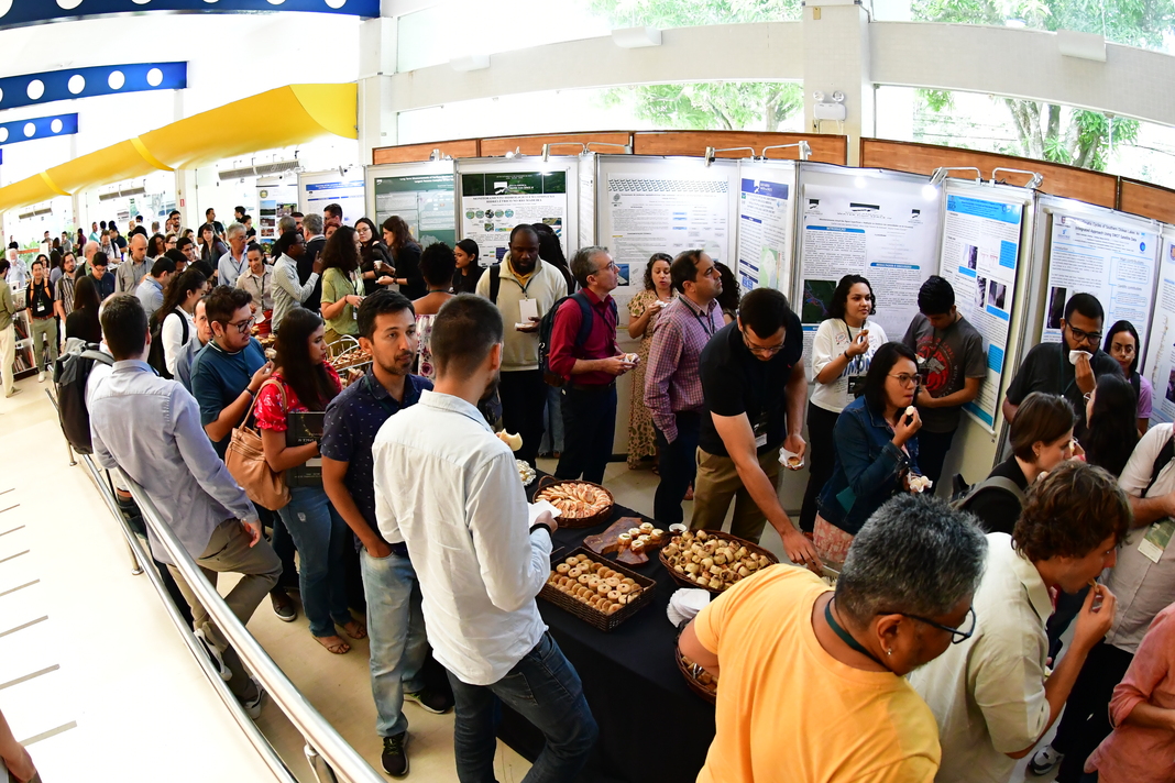
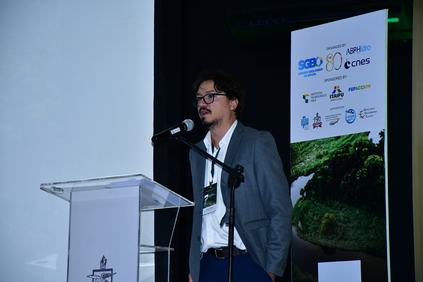
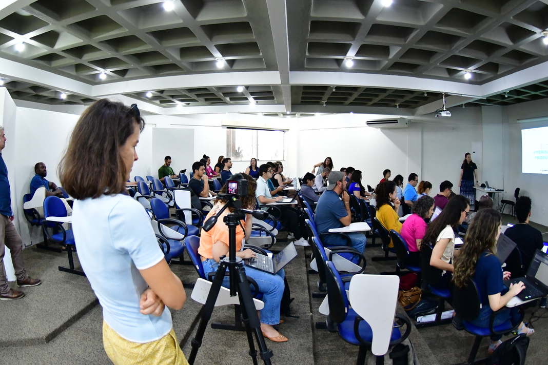
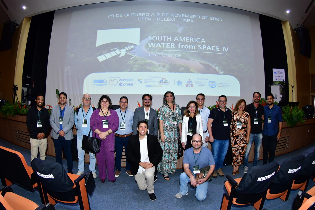
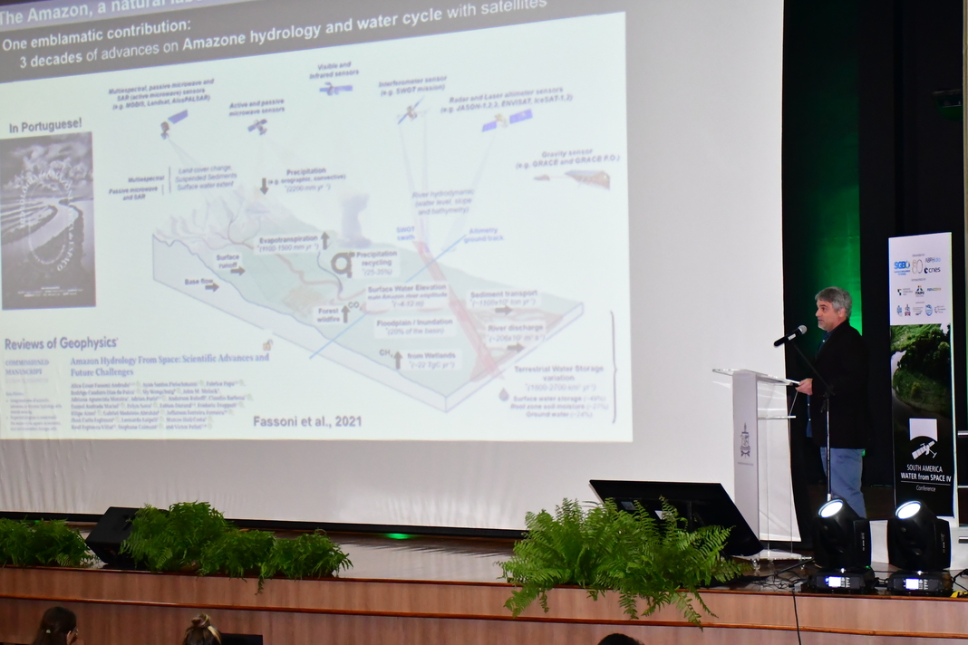
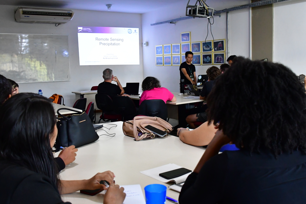
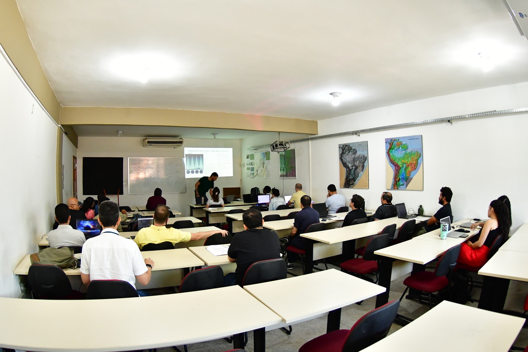
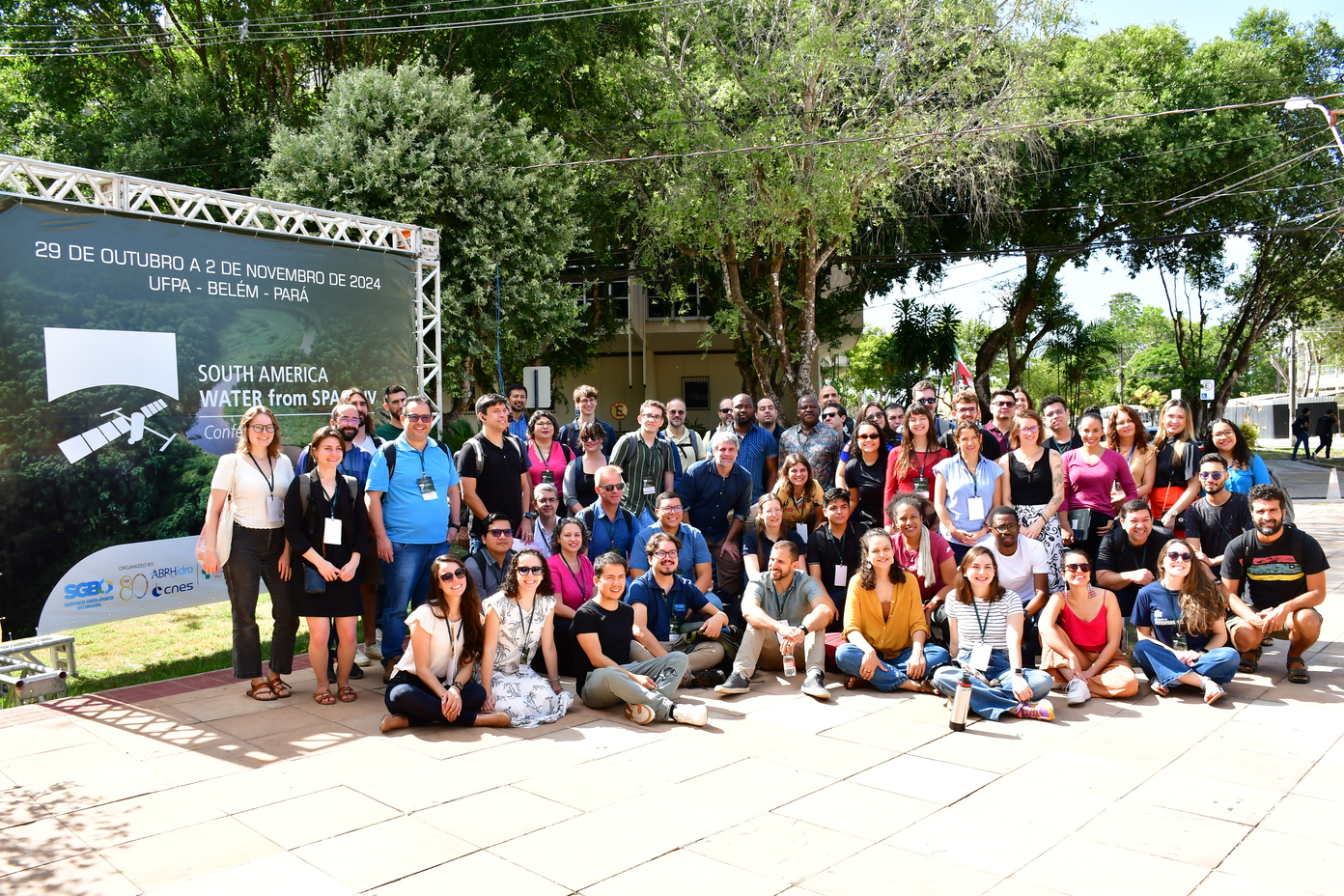
The South America Water from Space IV event was held in Belém, Brazil, from October 29 to November 2, 2024, at the Federal University of Pará (UFPA). The event was co-organized by IRD, CNES, SGB, and ABRHidro, with sponsorship from the Vale Technology Institute (ITV) and Itaipu Binacional, and supported by IPH-UFRGS, UFPA, the Mamirauá Institute, FEFACCION LEGOS, and GET. -
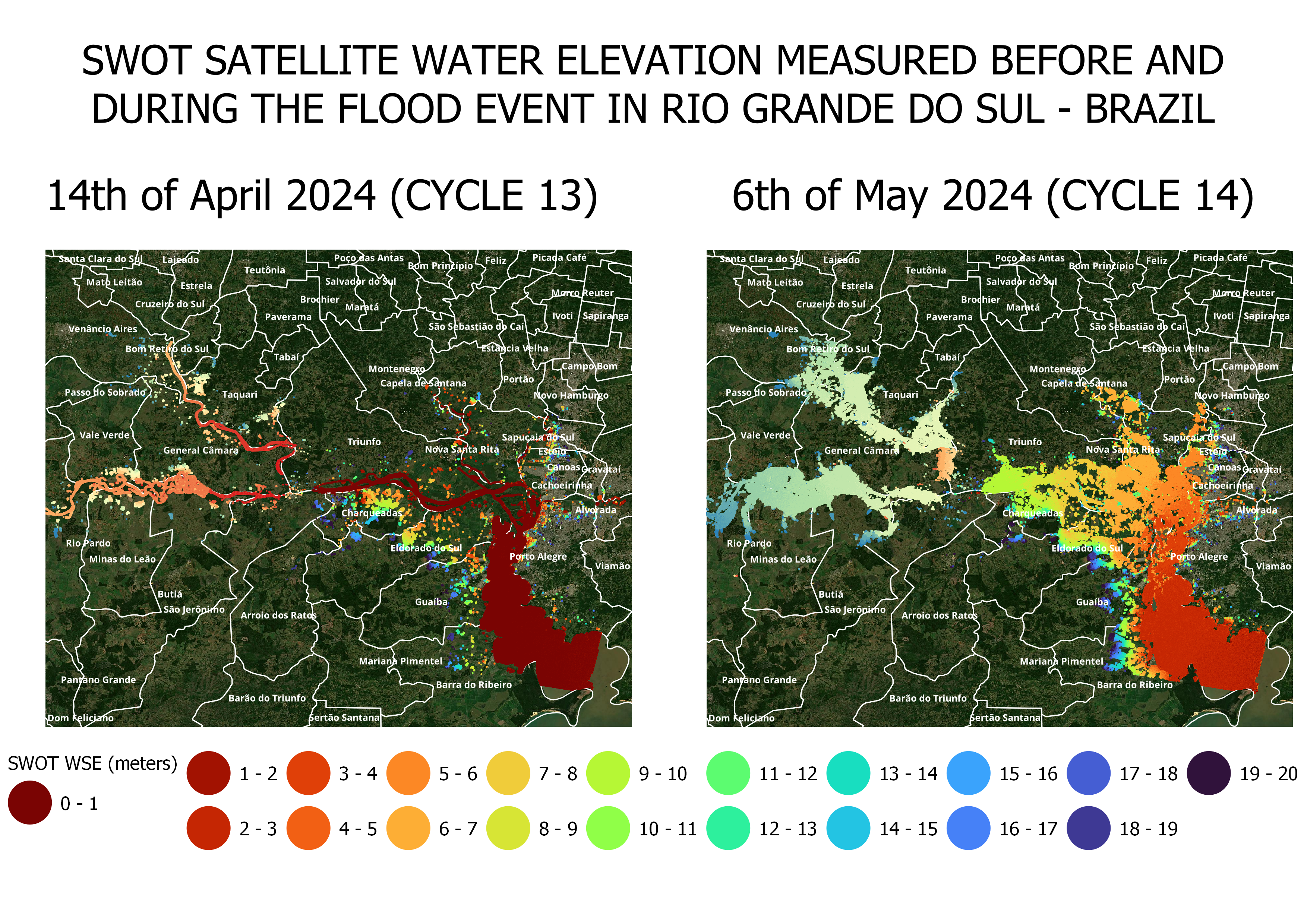
SWOT measured the flood in the south of Brazil
The SWOT (Surface Water and Ocean Topography) satellite measured the flood in Rio Grande do Sul State, Brazil. The KaRIn interferometric radar was able to measure the water extent and water level, showing the impact of the flood during the event. The analysis of SWOT data for this event was conducted by the South America Water from Space working group, which is part of the SWOT Science Team Project 'SAMBA,' involving SGB, IRD, IPH, UNB, Hydro Matters, CNES and several institutes.
For more information about the SWOT satellite mission, you can visit SWOT website.
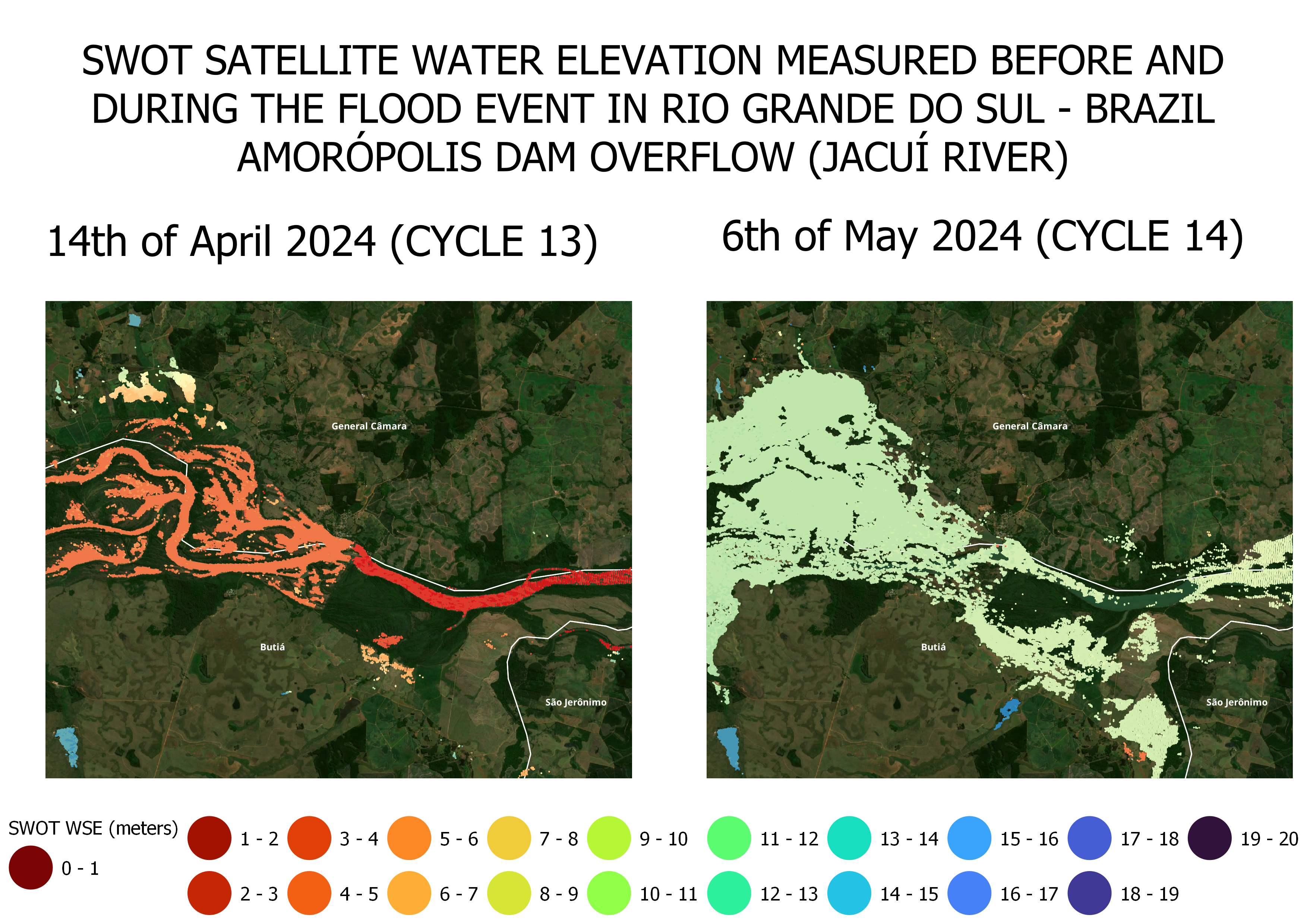
 The spatial resolution details of SWOT can reveal the overflow of the Amaropólis Dam.
-
The conference South America Water from Space IV will focus on the latest scientific advances and state-of-the-art instruments and methodologies developed to characterize global water cycle variability and to identify the primary needs in modeling and data assimilation to improve our knowledge of the water cycle and our ability to quantify its future changes. WE welcome work focusing on the applications of remote sensing to investigate water management issues, liquid and solid discharge in rivers, hydrometeorological risks, precipitation and cryosphere, water levels and surface waters, lakes, rivers and wetland, evapotranspiration and soil moisture, irrigation, floods and droughts, modeling the water cycle, among others. Special contributions dealing with South American regional thematic (rivers such as the Amazon, the Orinoco, La Plata, arid areas etc..) are a plus, but contributions dealing with tropical large river basins in general are most welcome.
One part of the conference will be devoted specifically to the new capabilities and new results of the SWOT mission, along with the possibilities provided by the current satellites of the European COPERNICUS space program. Thus, we encourage presentations that show the benefits of high spatial resolution observations of freshwater, and that could serve as a basis for discussions by European and South American research teams and operational institutes of the capabilities offered by future SWOT satellite observations. The conference, through very rich presentation and poster sessions and courses and training will also, and it is our priority, provide an opportunity for students and young scientists (with special attention to gender equality) to be trained by renowned scientists in technical and scientific activities.
-
Climate, weather, and human life are profoundly affected by changes in Earth’s continuous, interconnected ‘water cycle’. Observing and monitoring the key variables governing the global water cycle is essential to our understanding of the Earth’s climate, forecasting weather, predicting floods and droughts, and improving water management for human use. The progress of Earth Observation Satellite Technologies (EO) has made it possible since at least the last 40 years to survey several of these key water variables from space. In the coming years, an increasing number of EO missions will offer an unprecedented capacity to observe the Earth’s surface, its interior and the atmosphere, ushering in a new era in the science of the Earth environment and the water cycle.
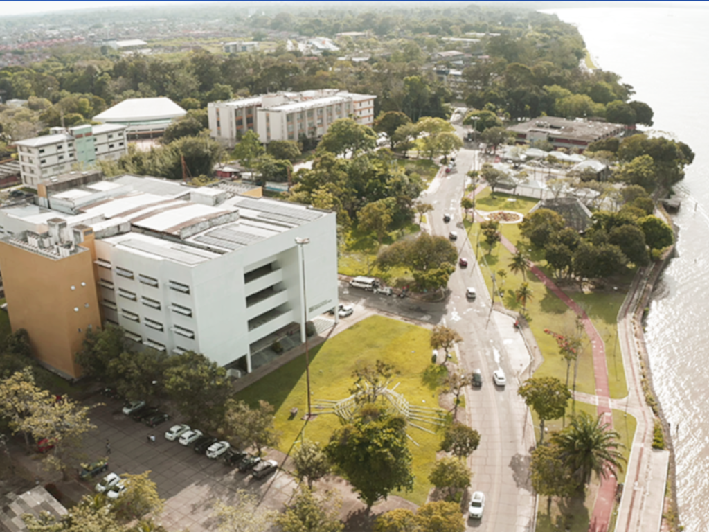
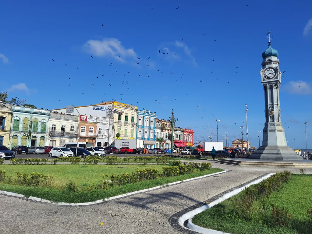
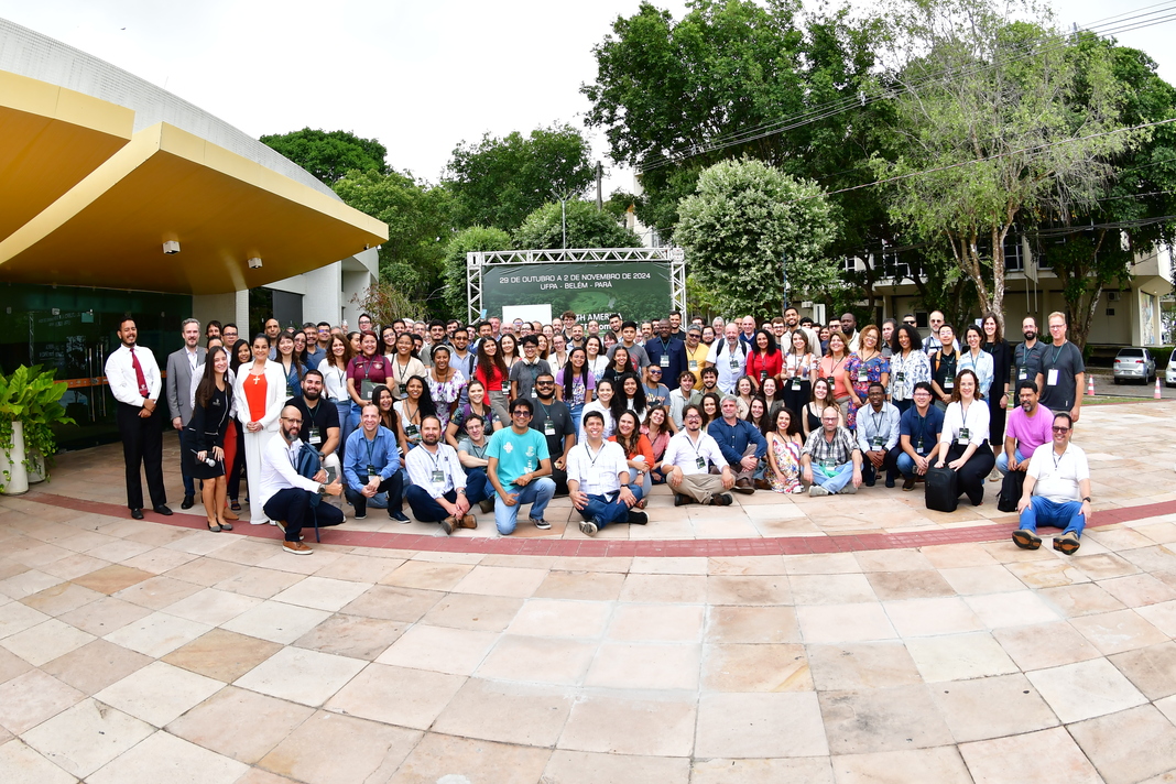
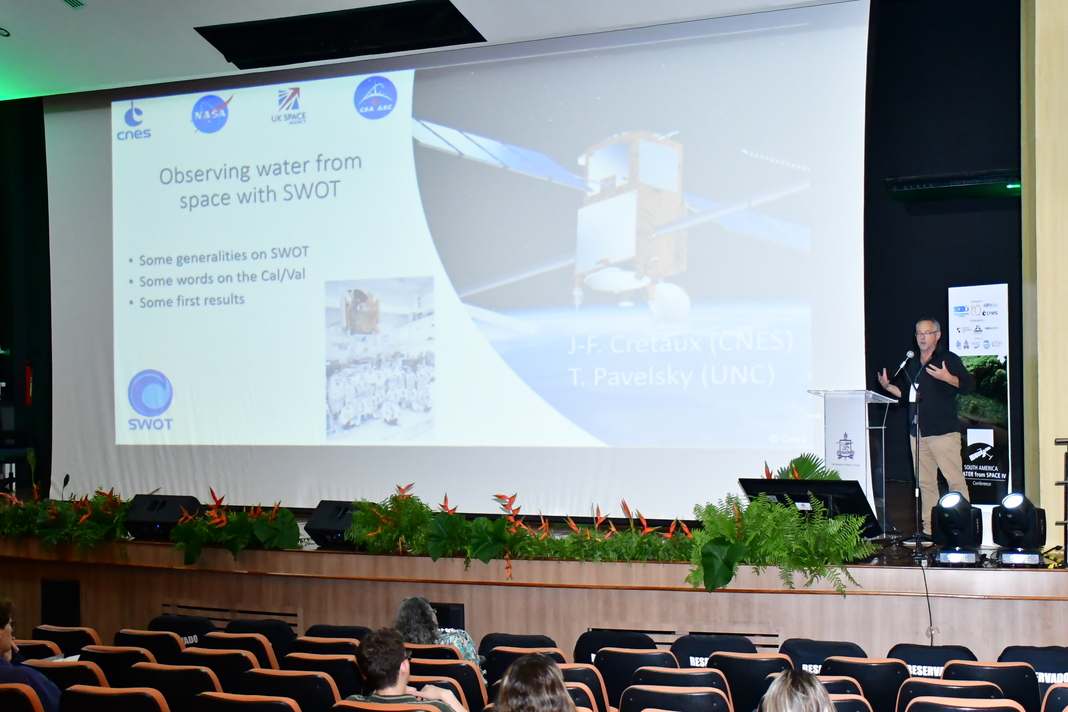
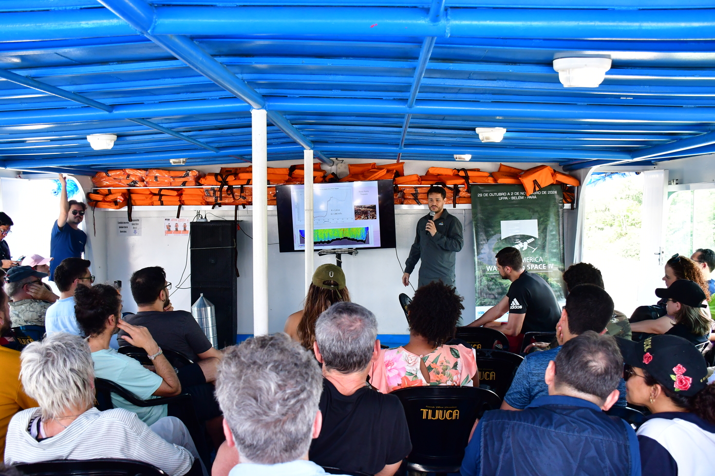
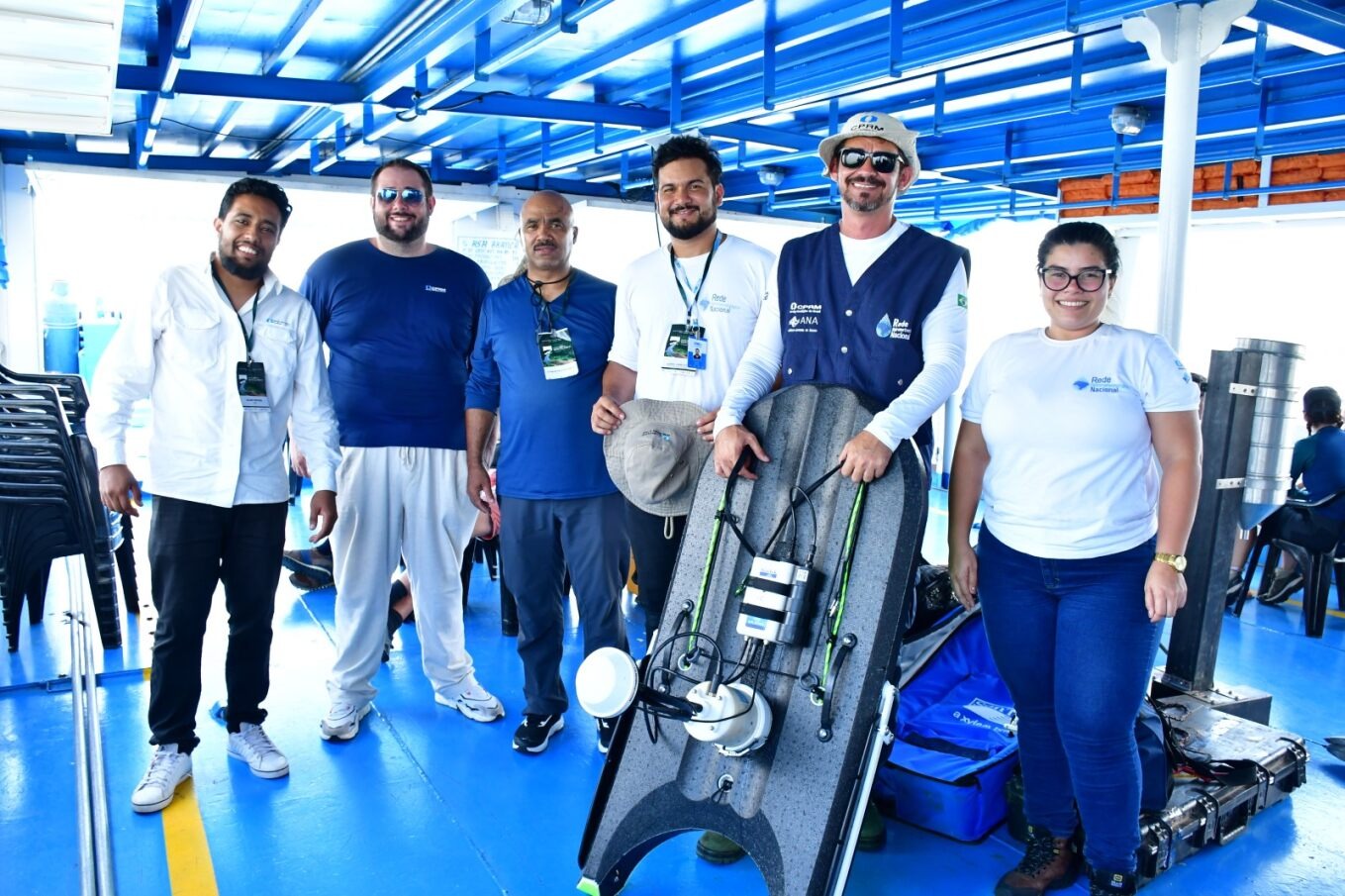
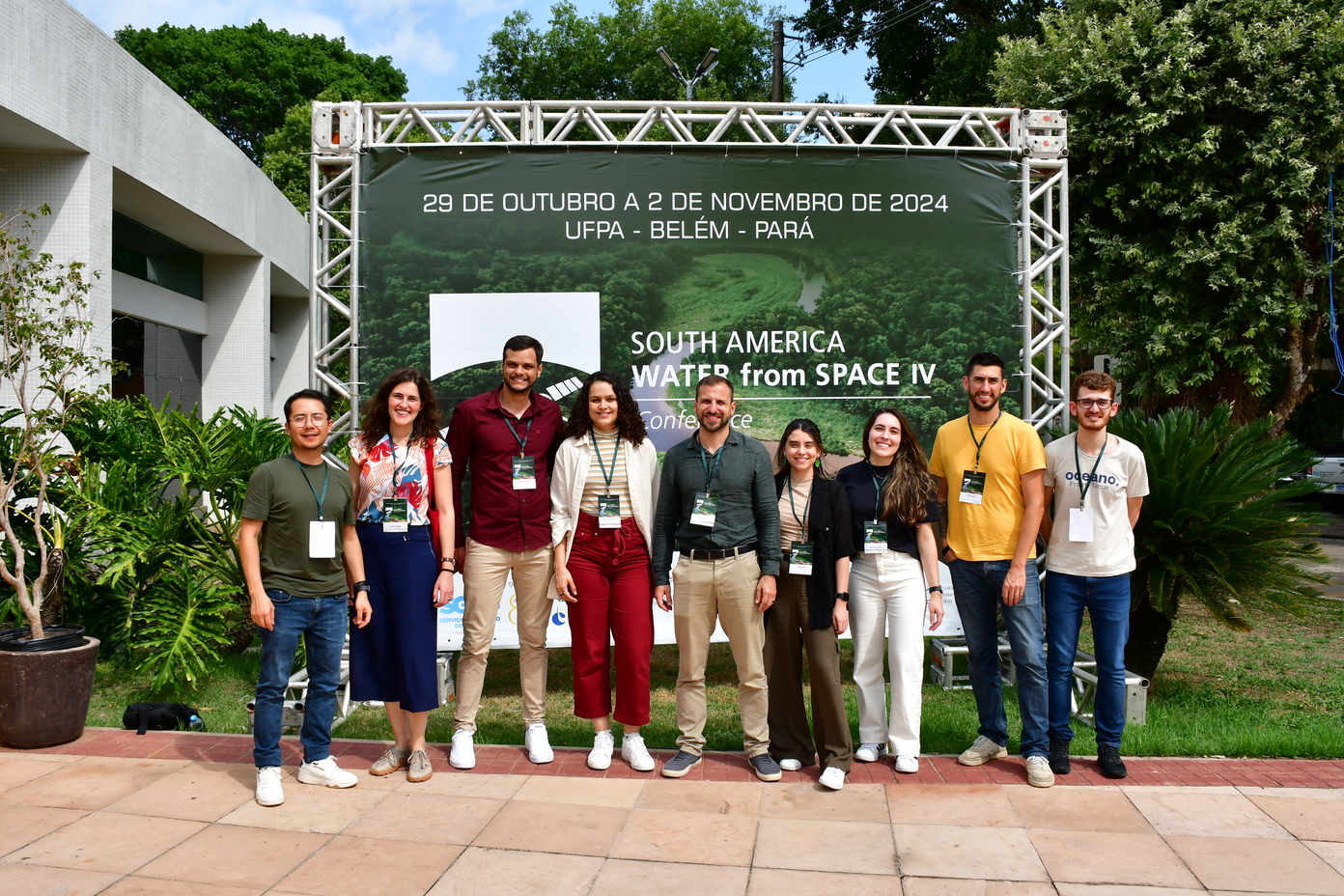
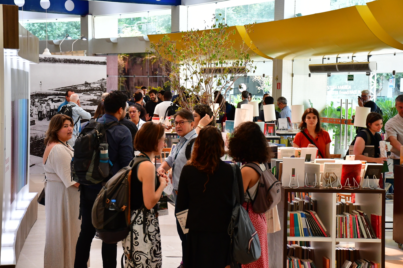
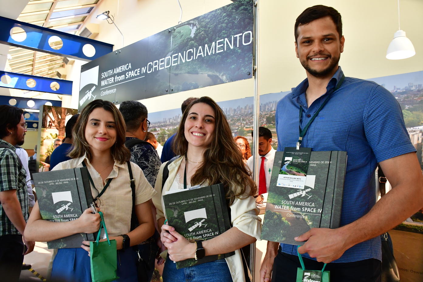
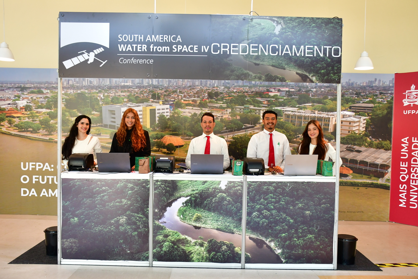
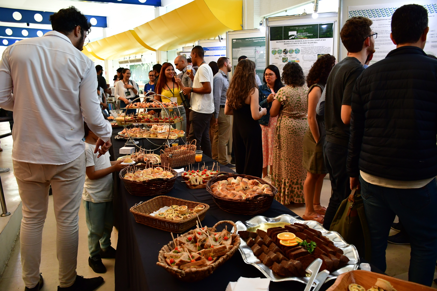
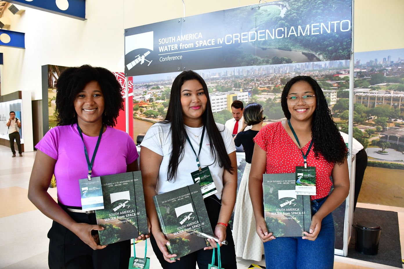
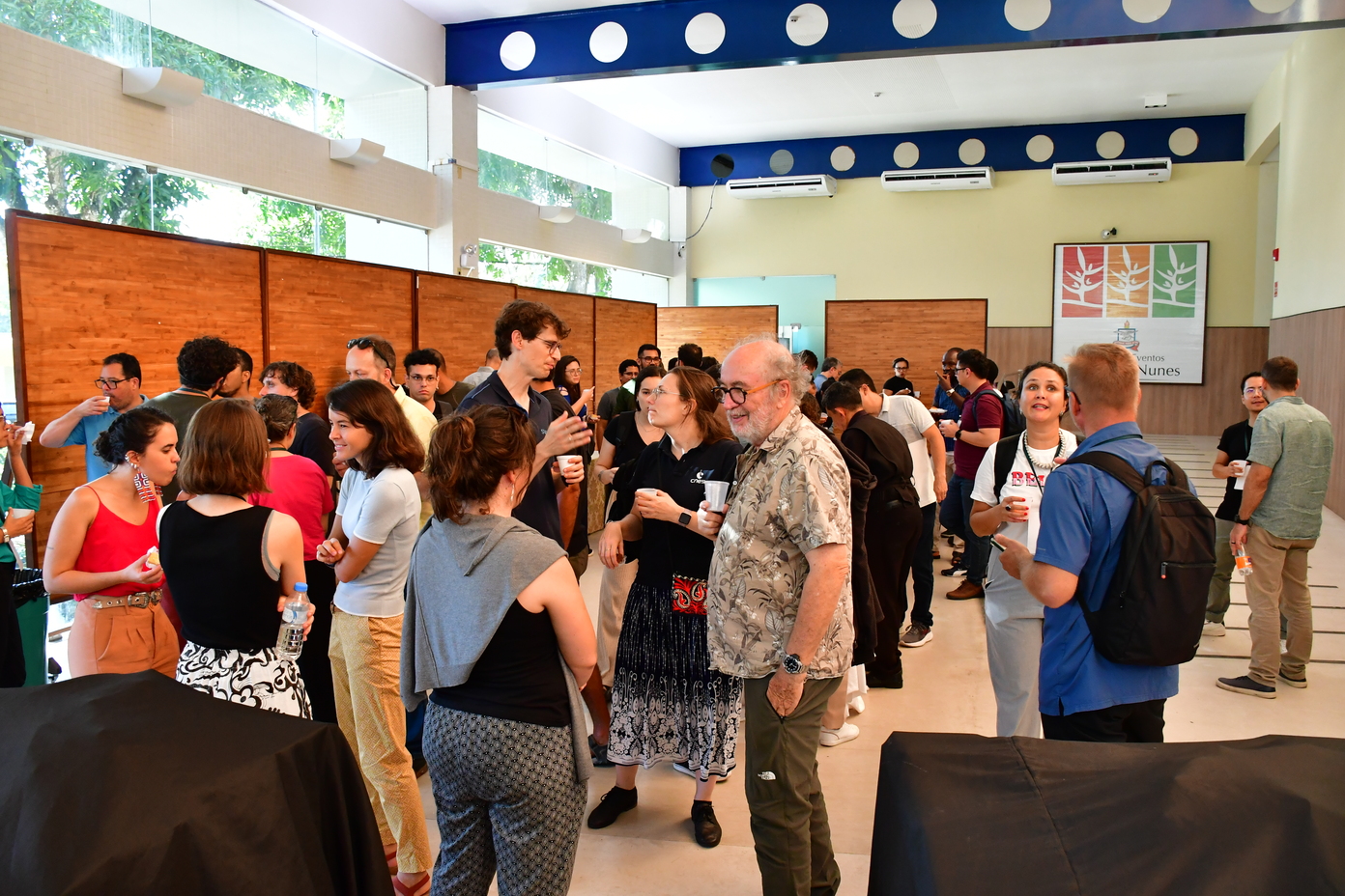
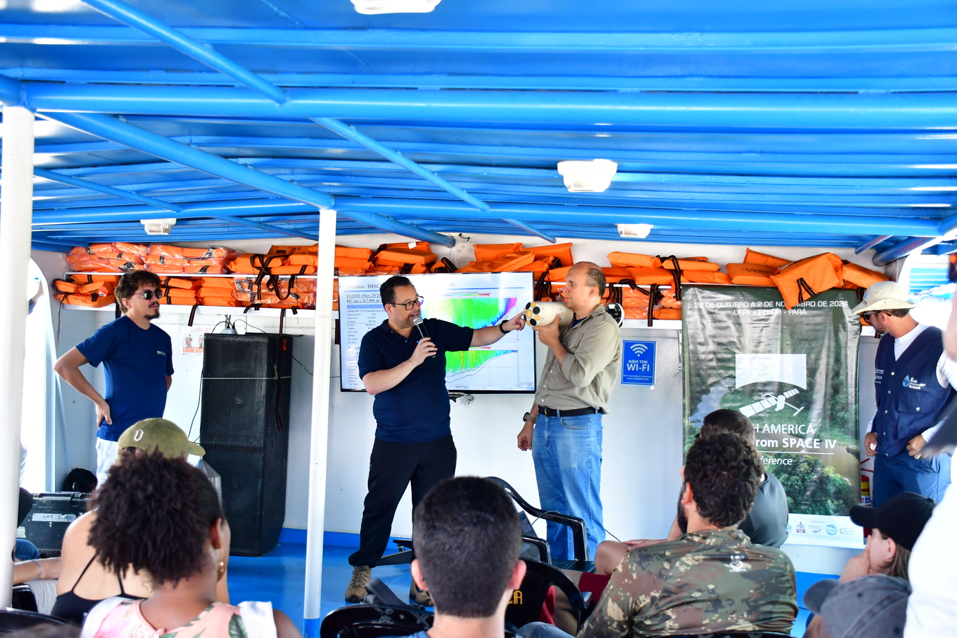
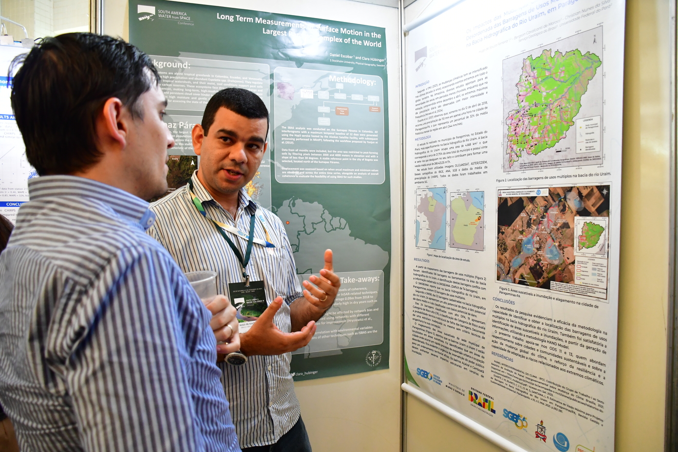
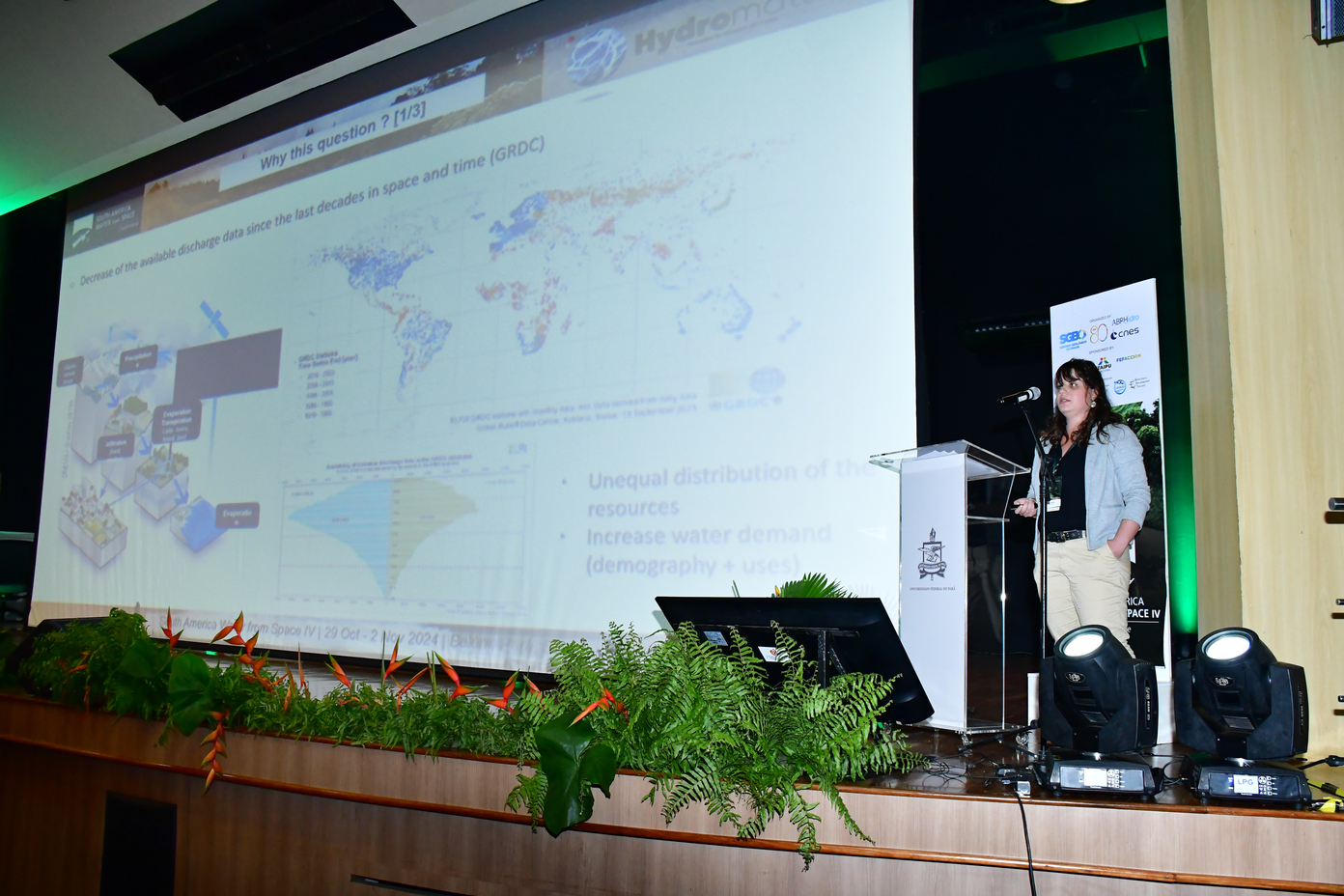
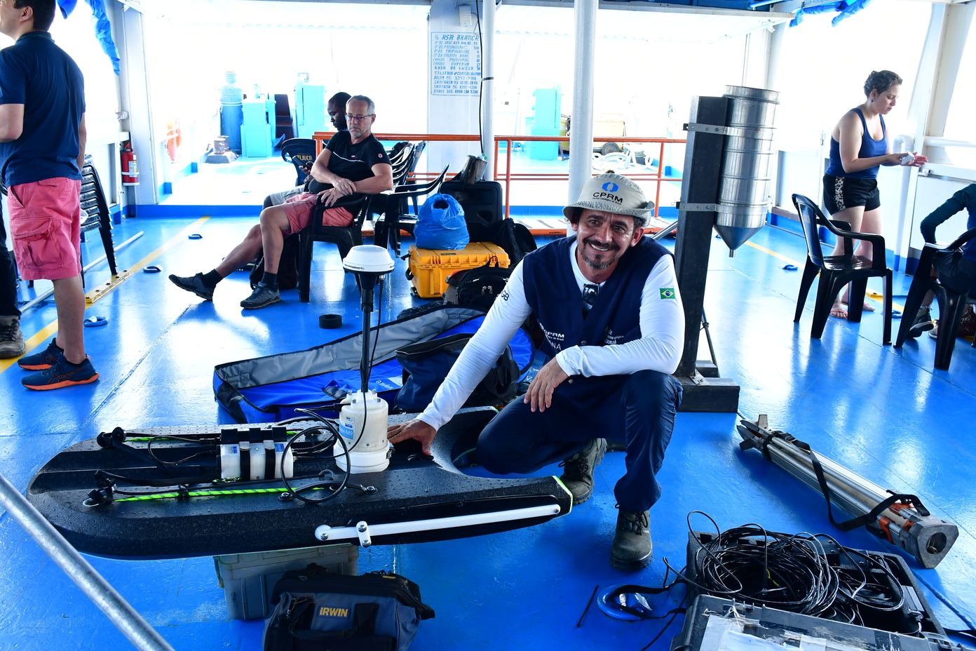
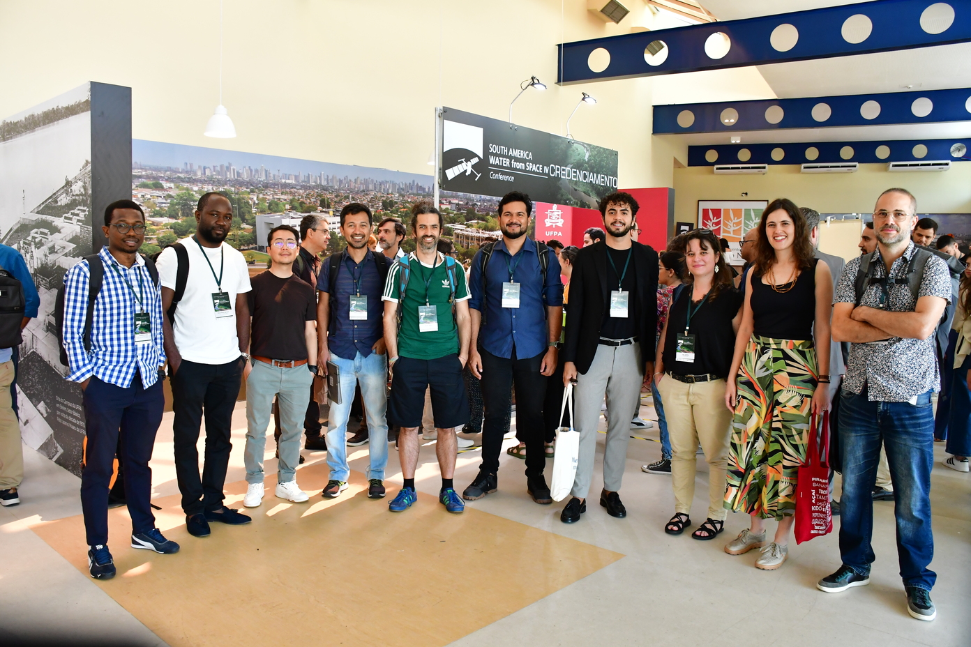
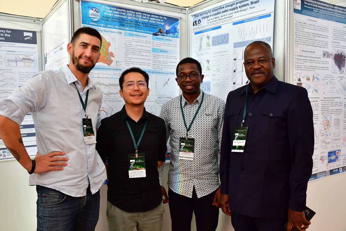
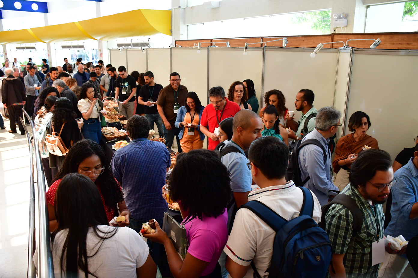
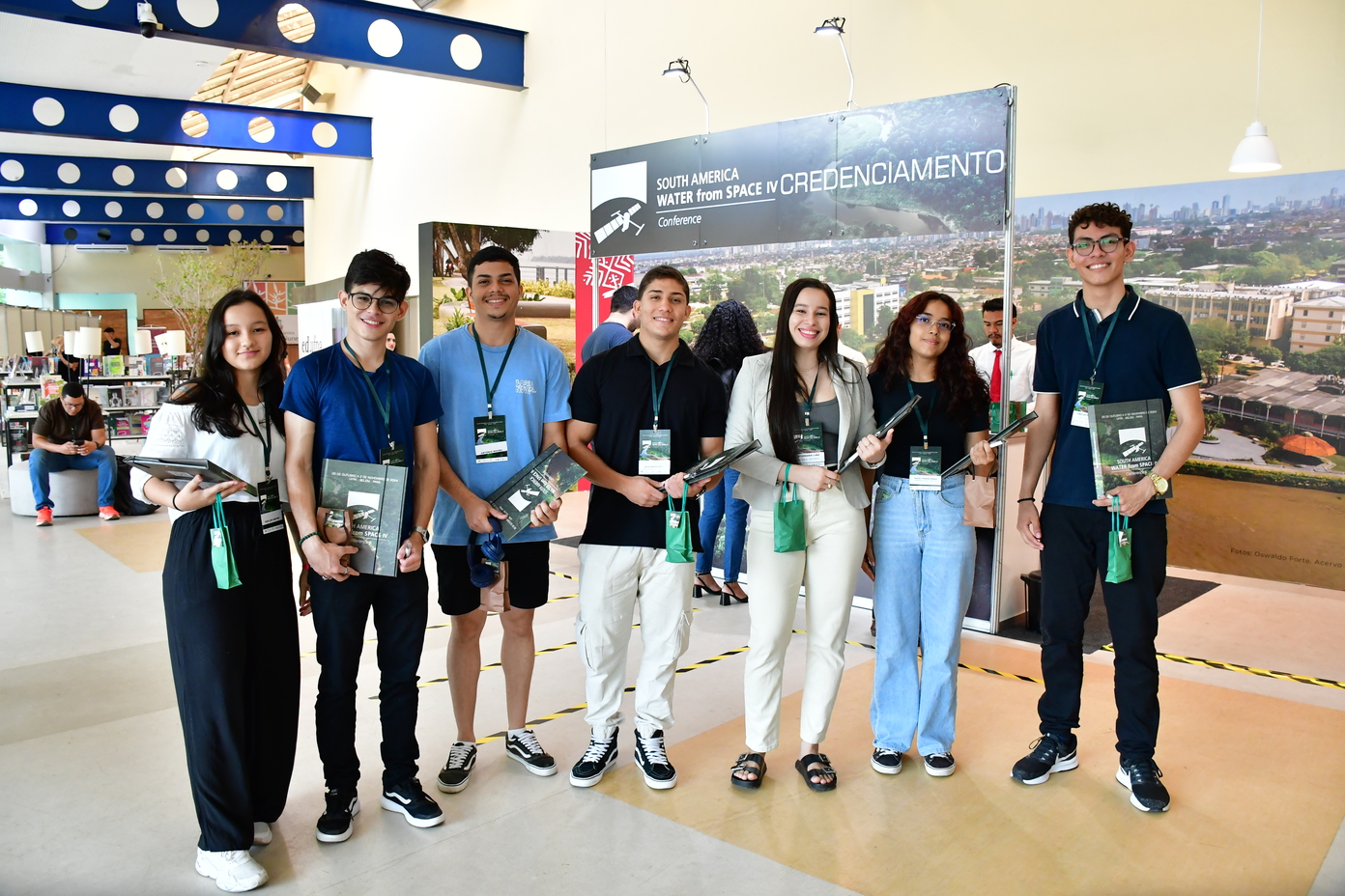
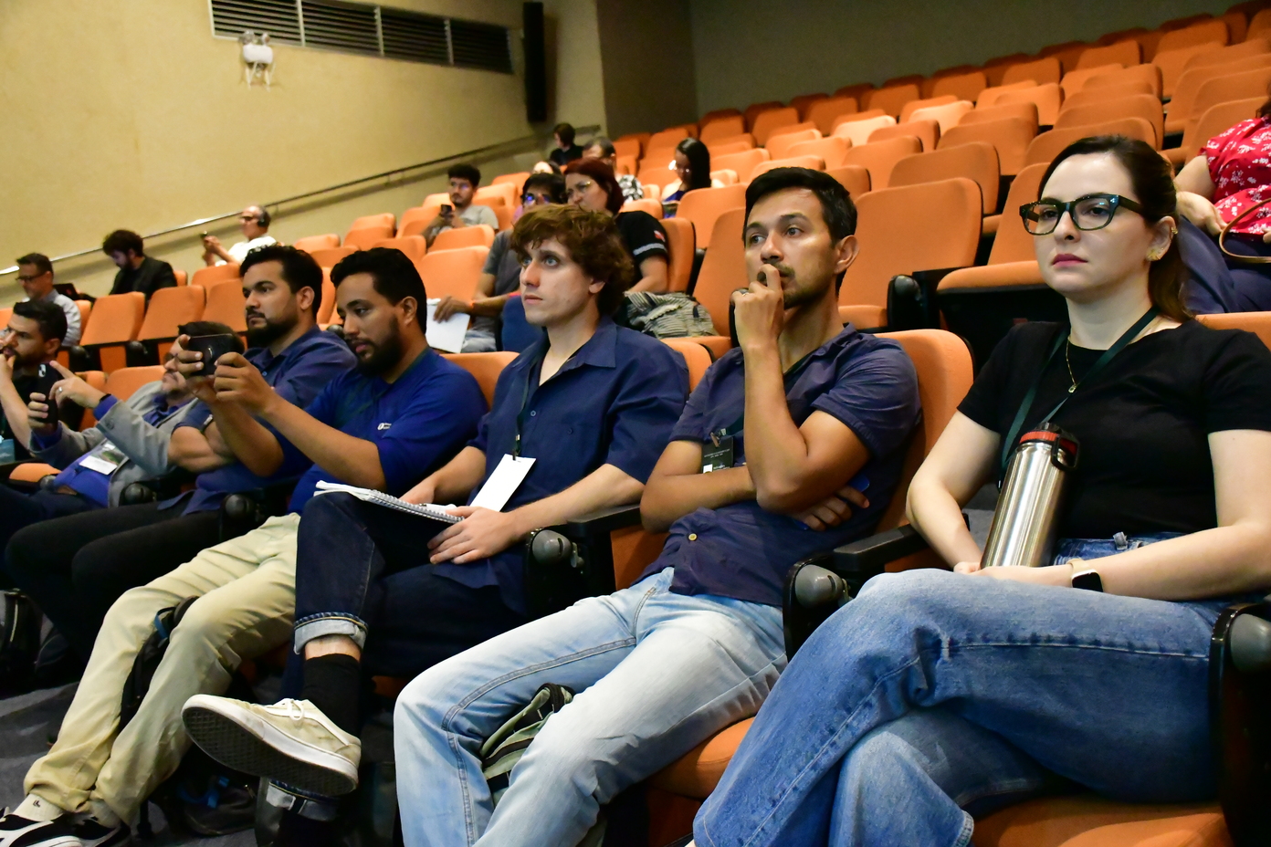
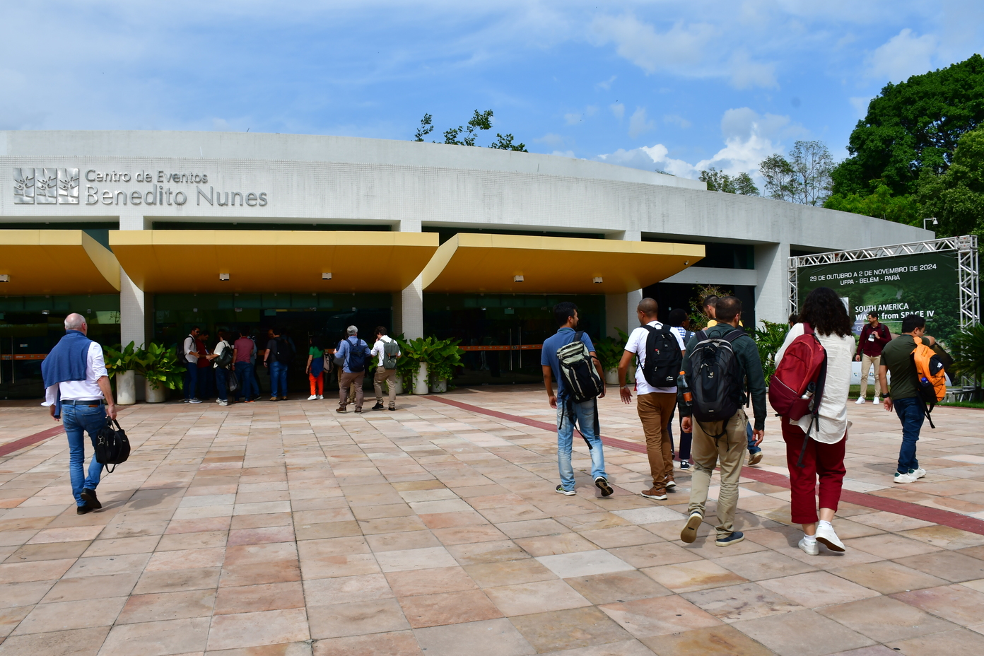
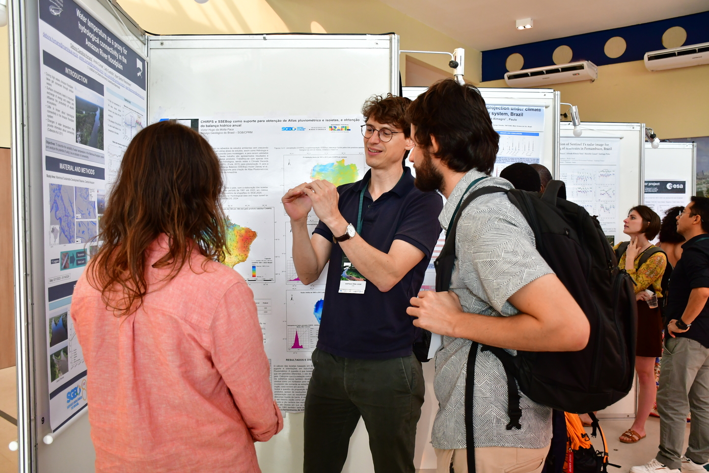
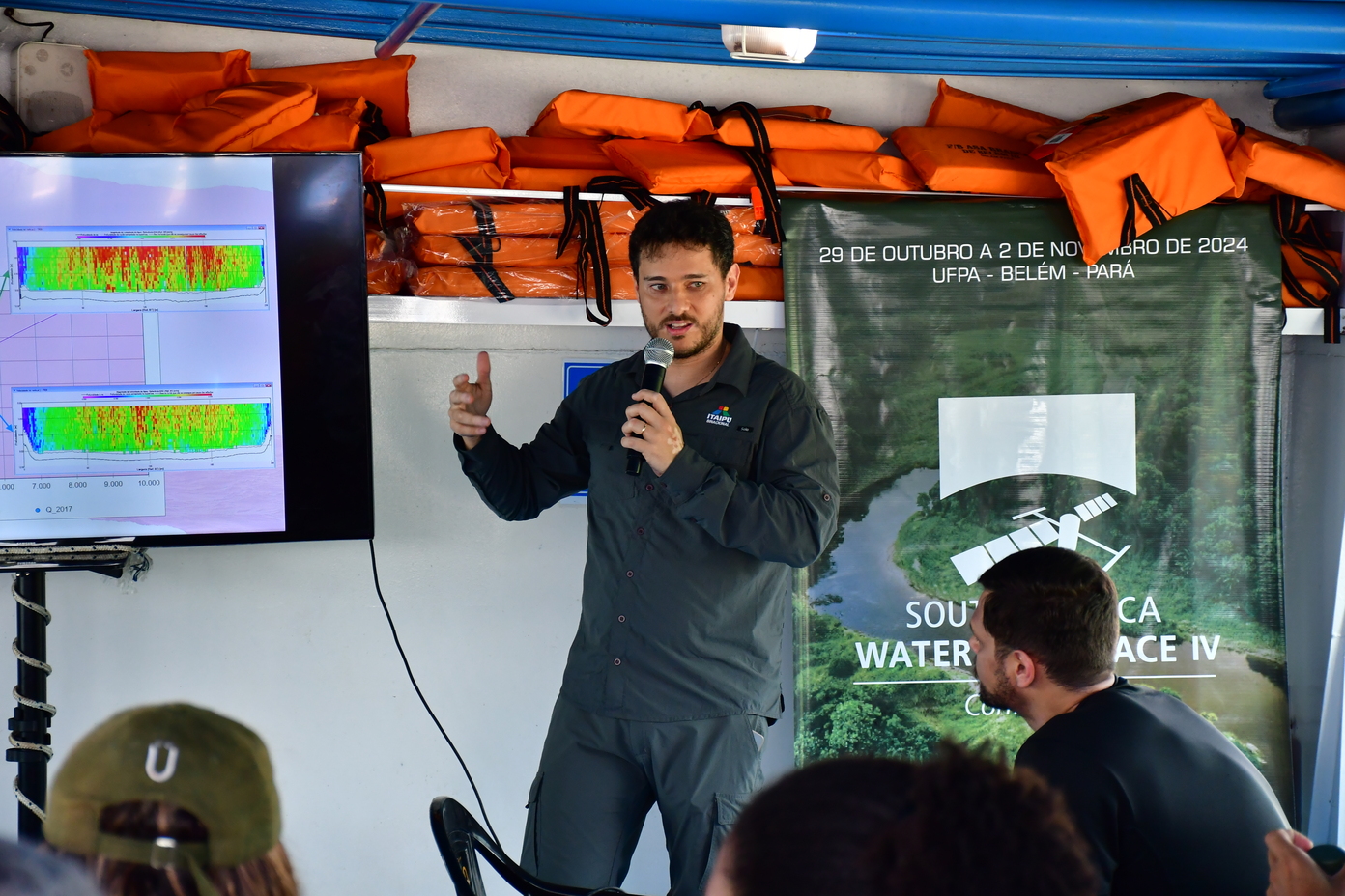
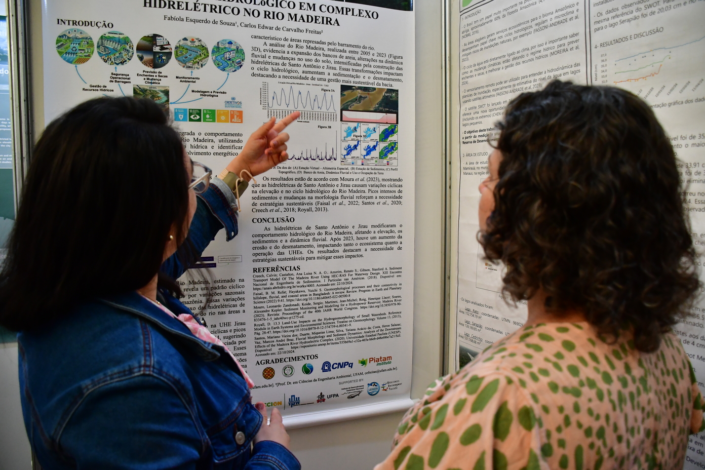
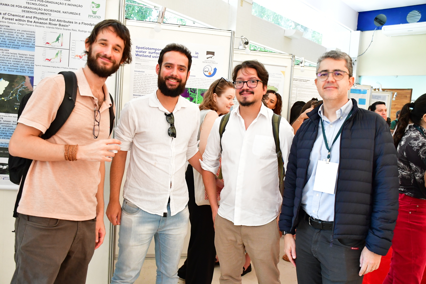
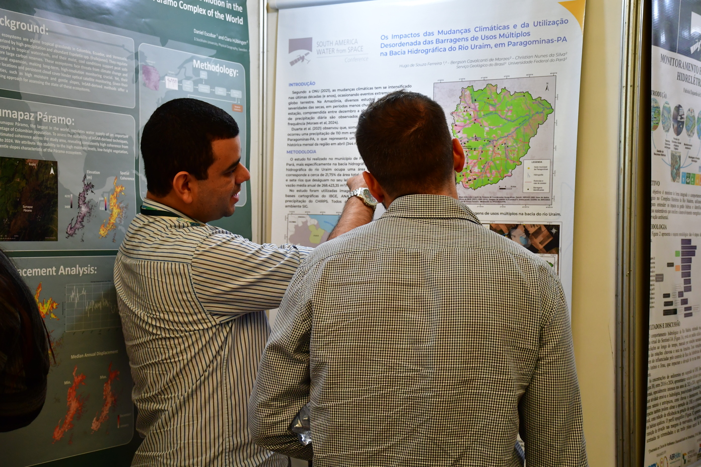
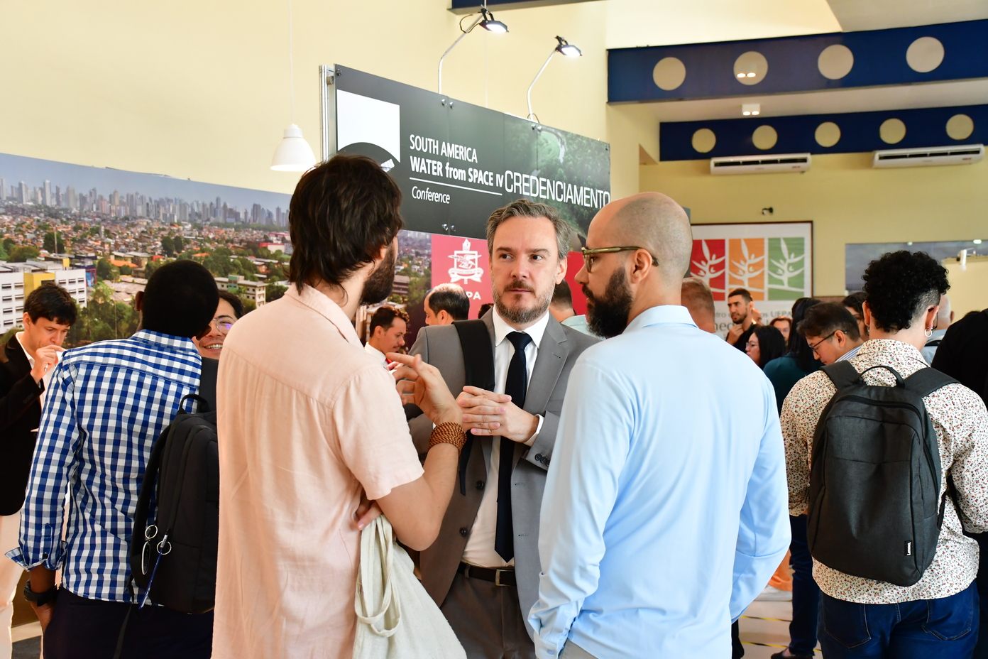
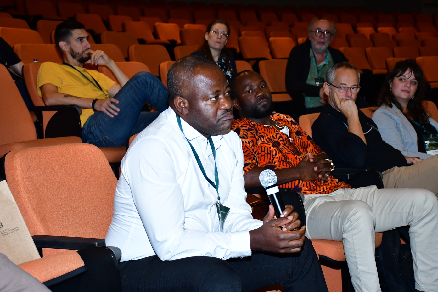
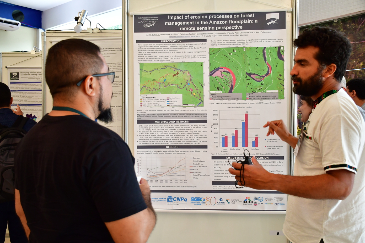
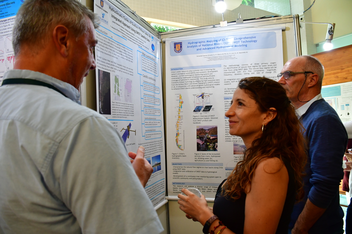
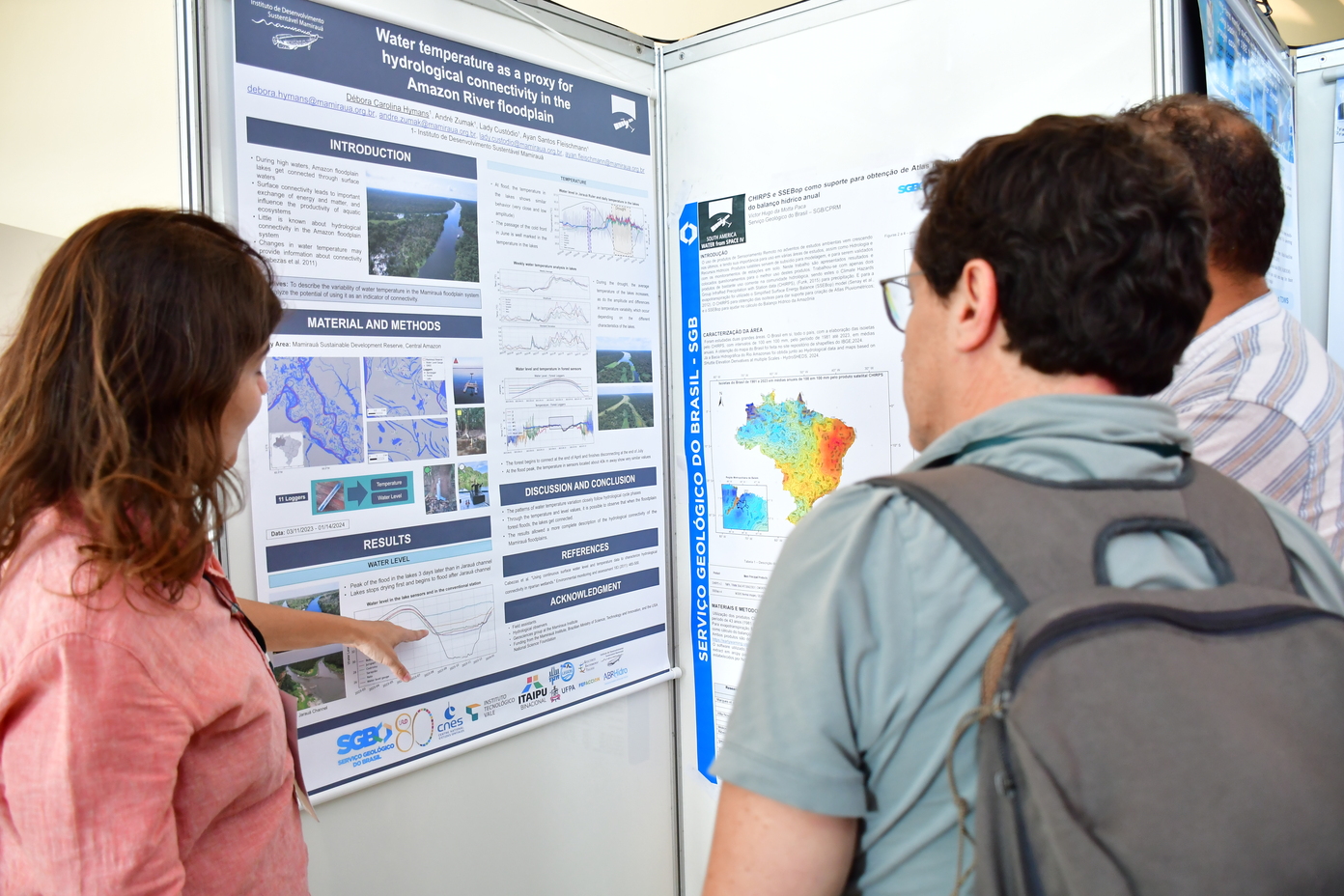
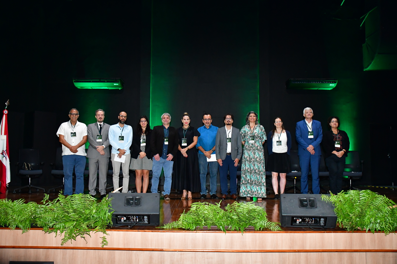
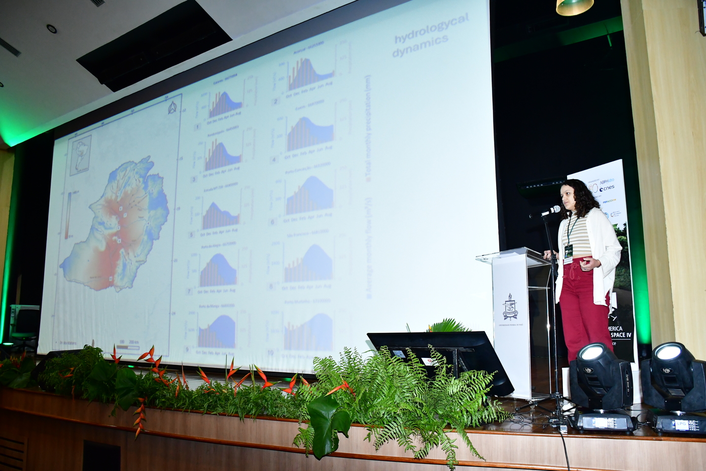
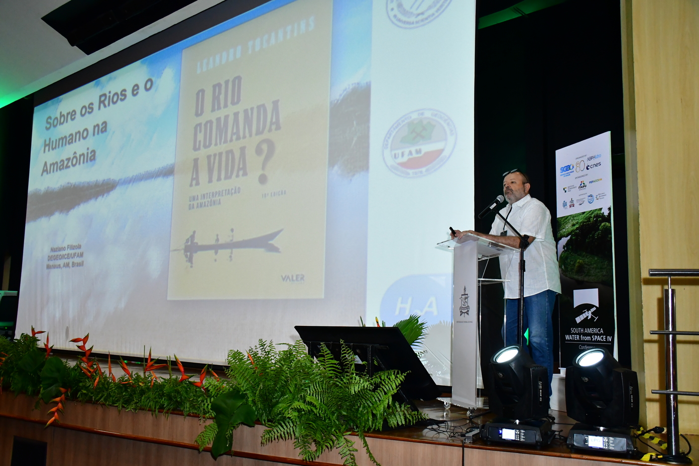
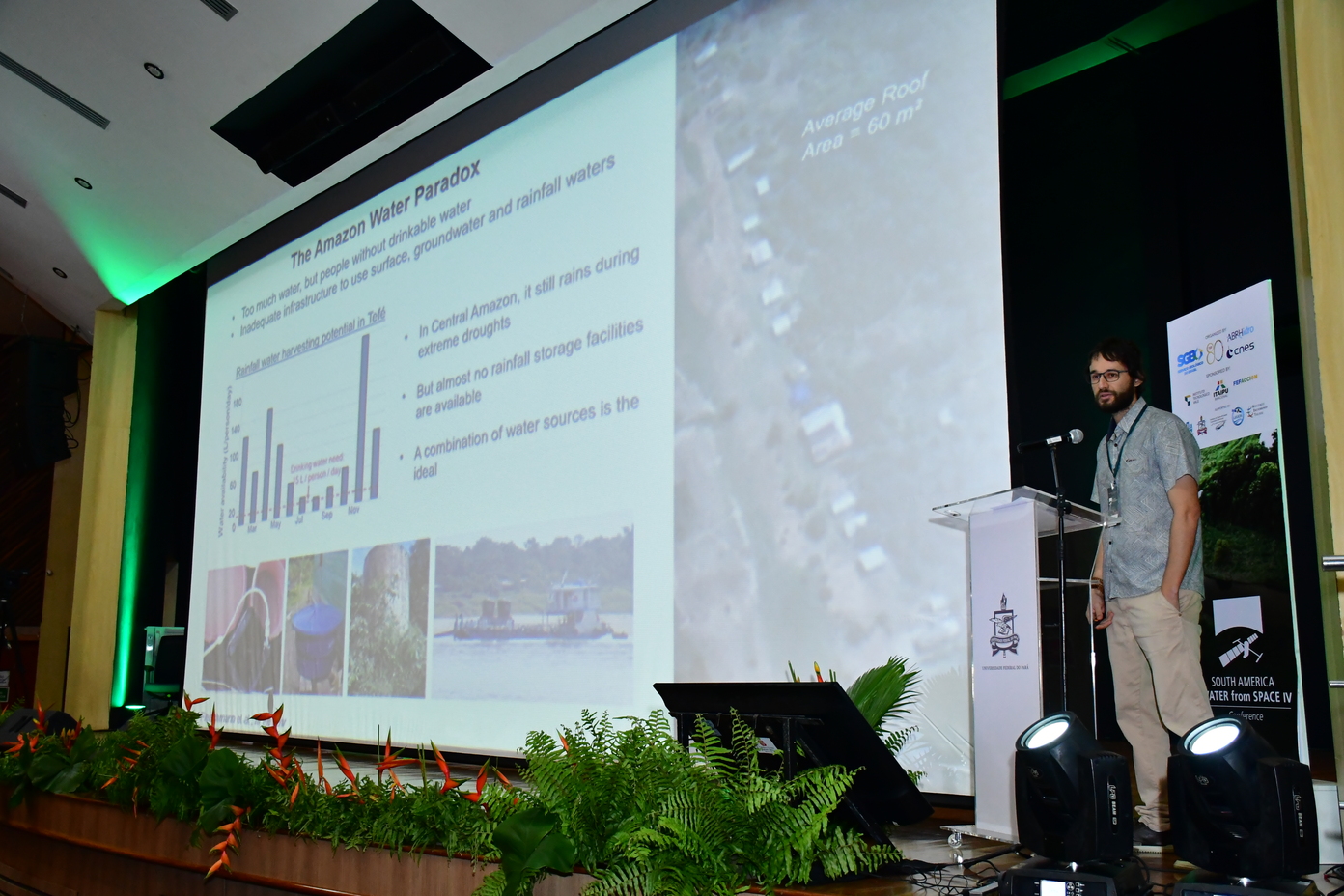
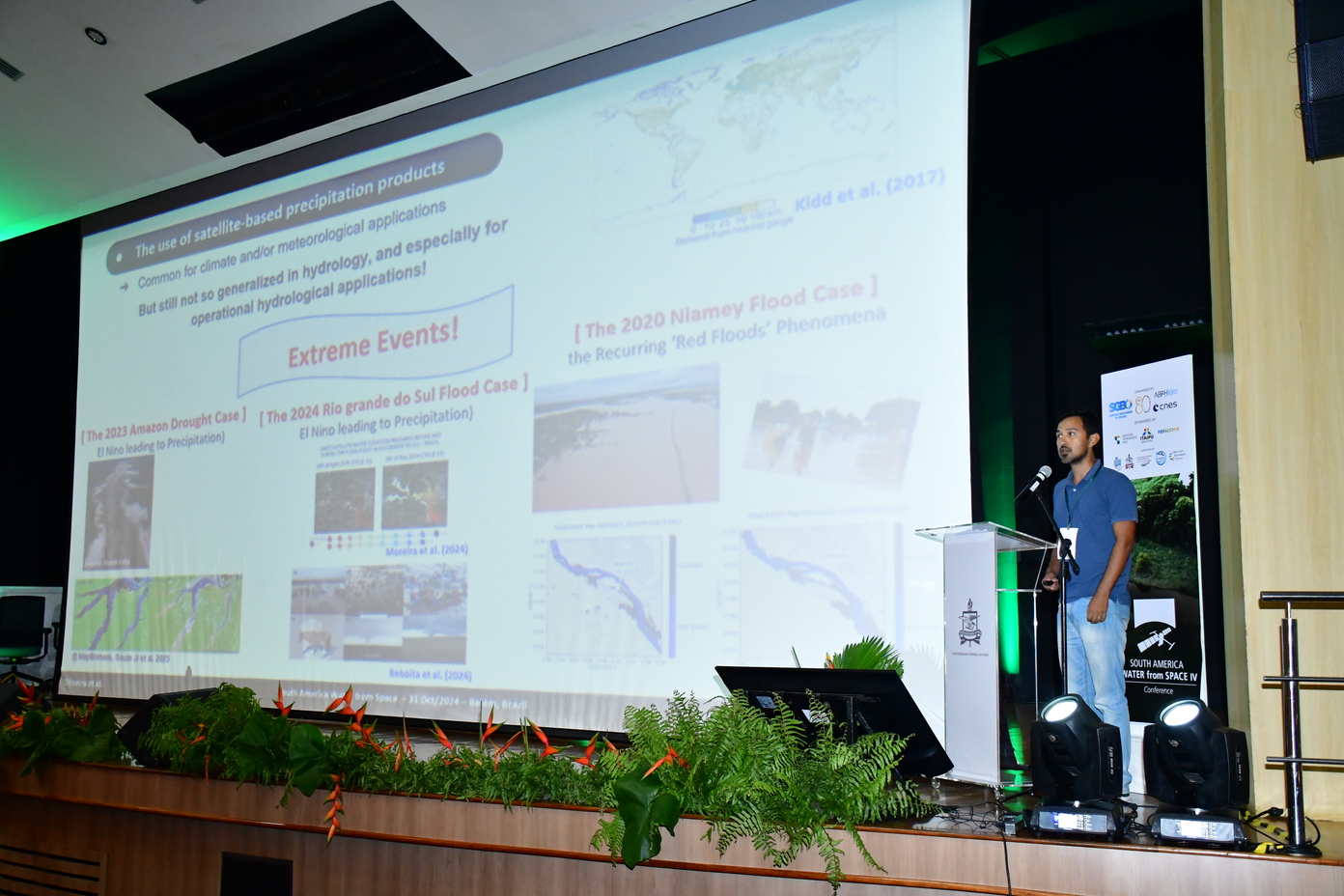
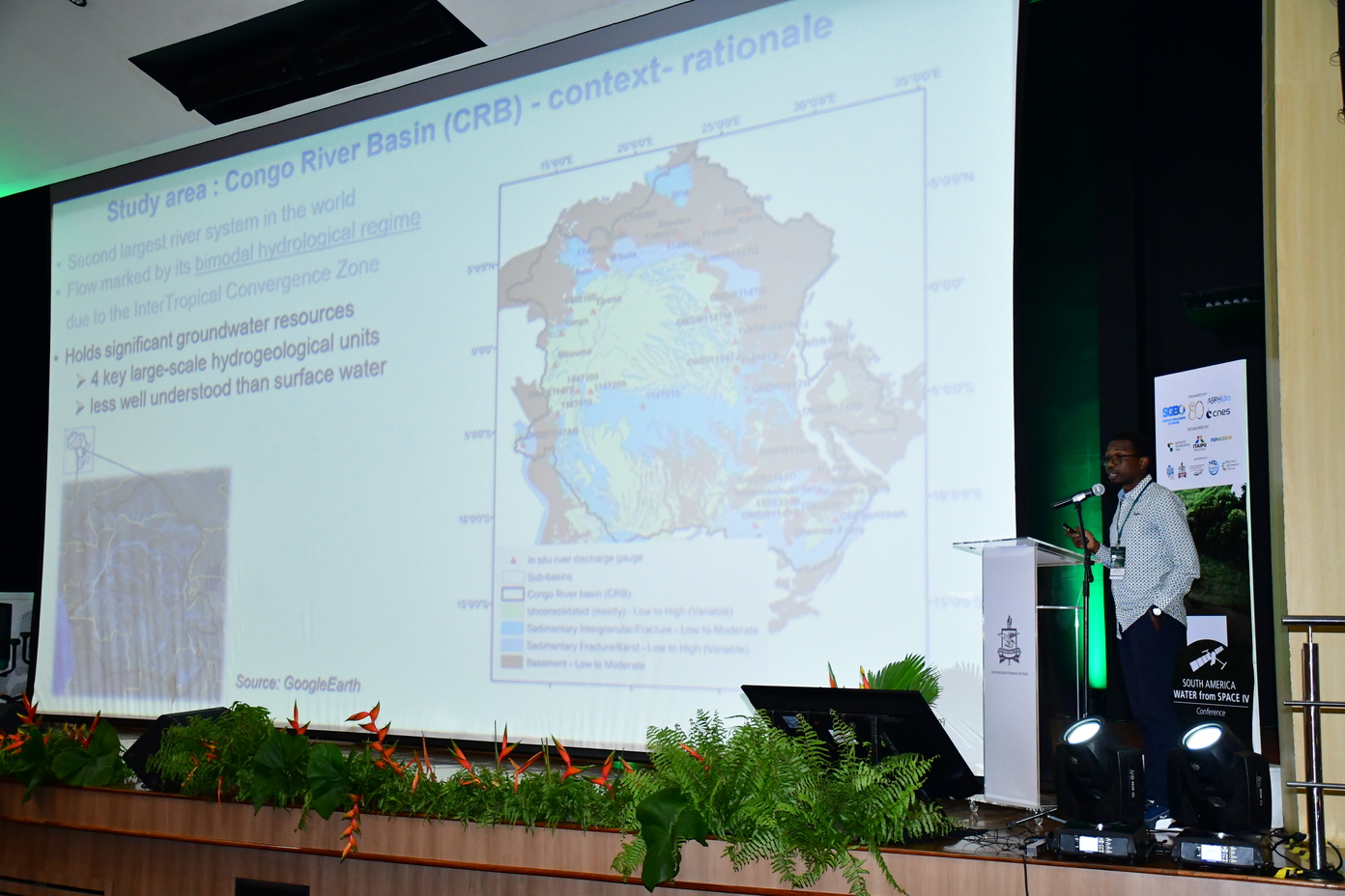
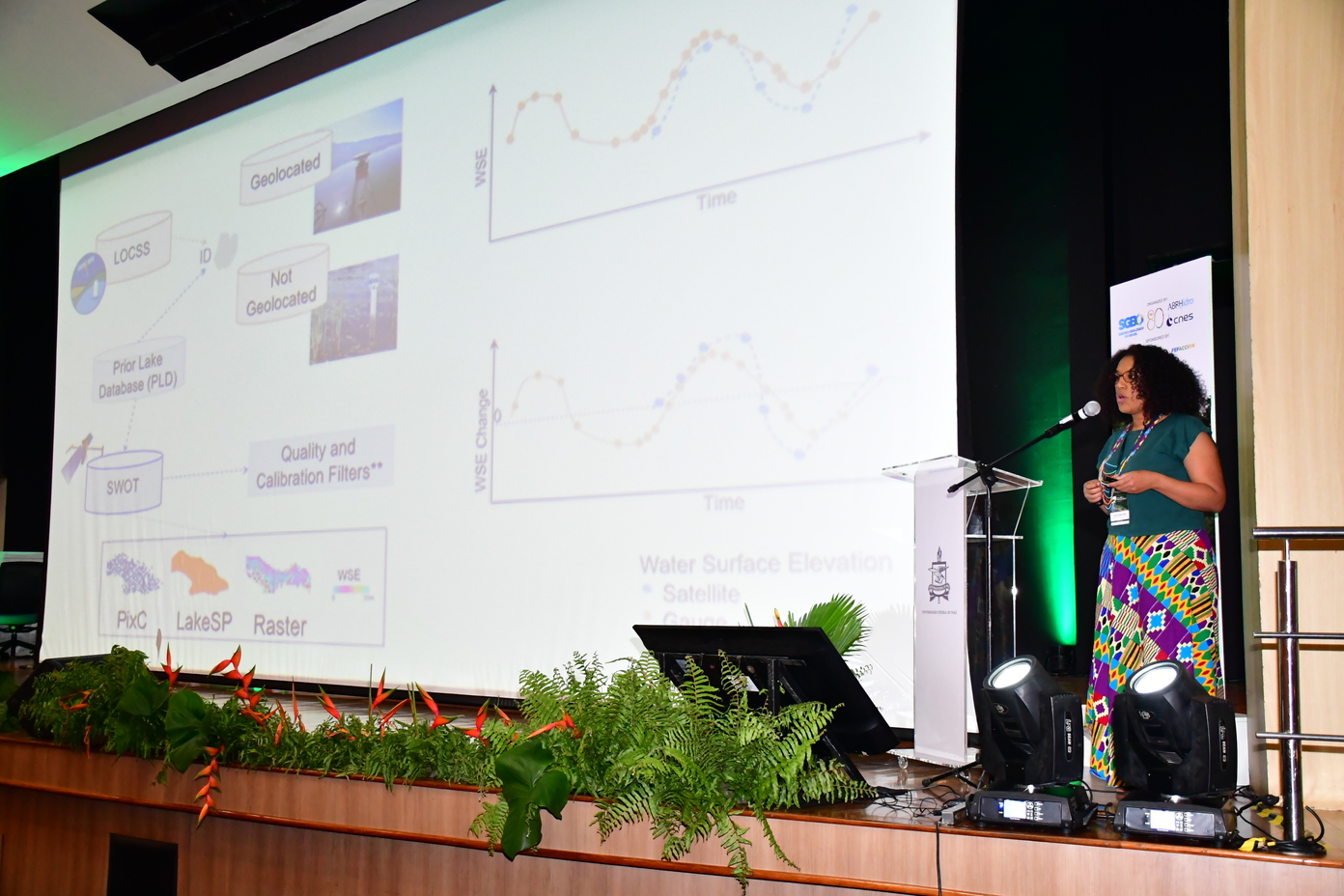
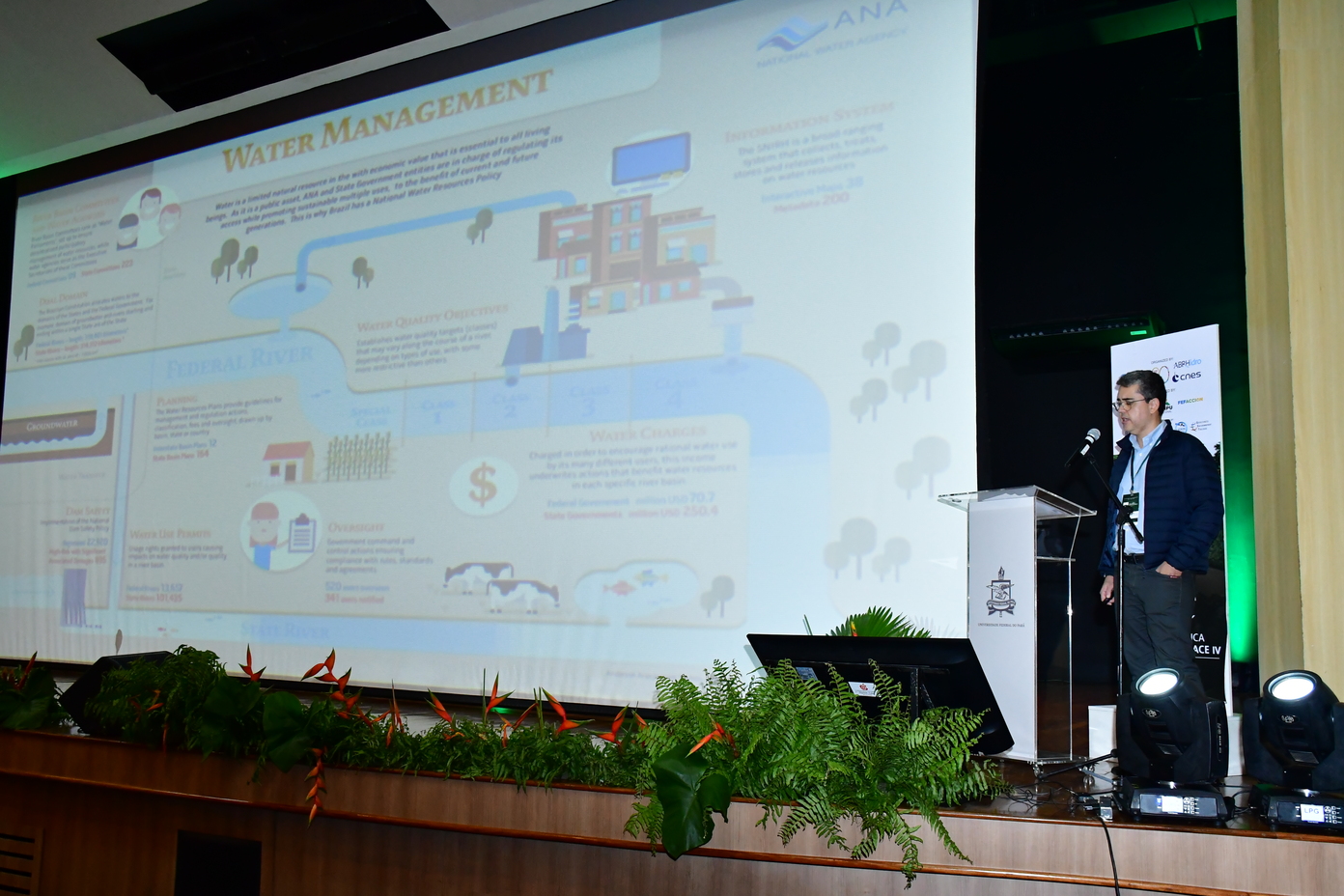
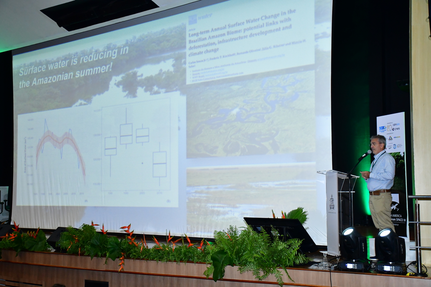
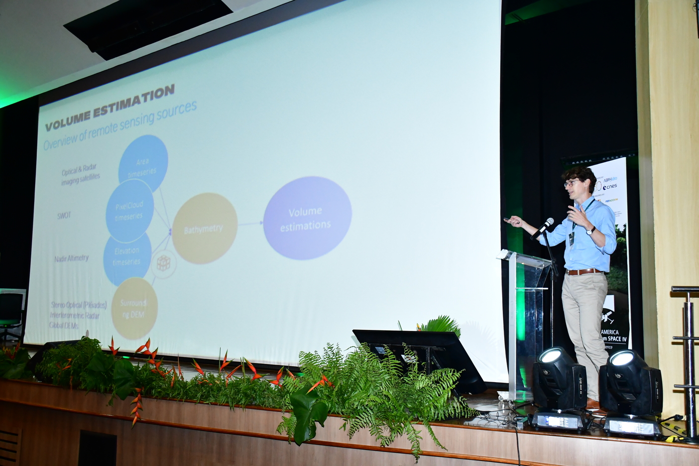
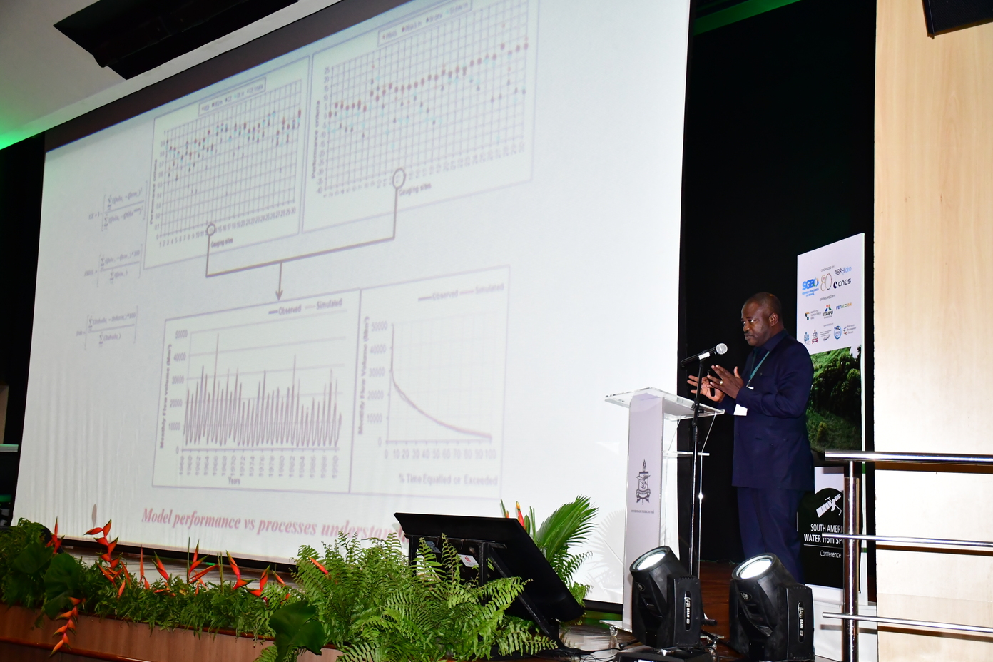
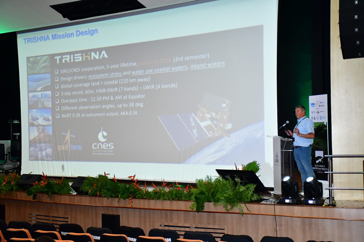
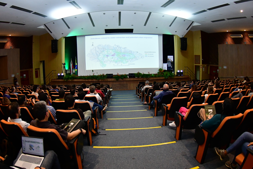
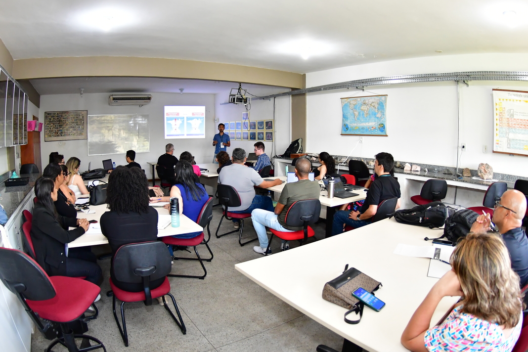
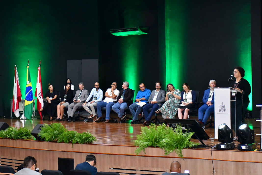
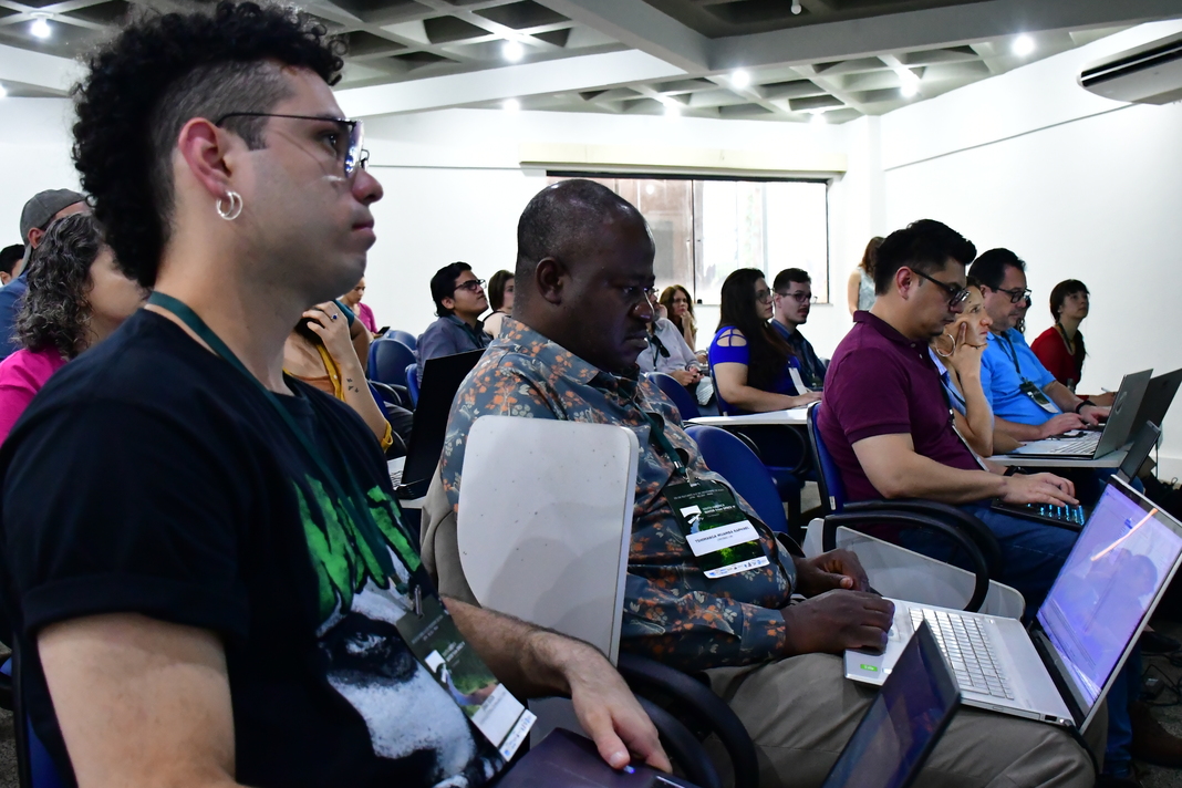
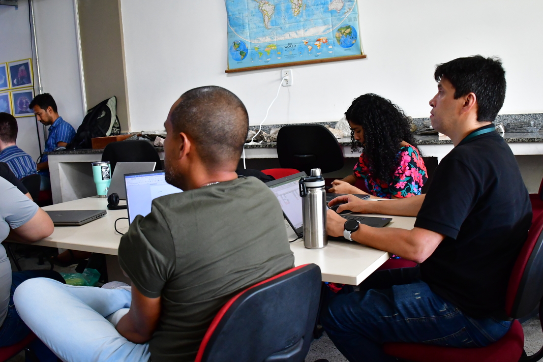
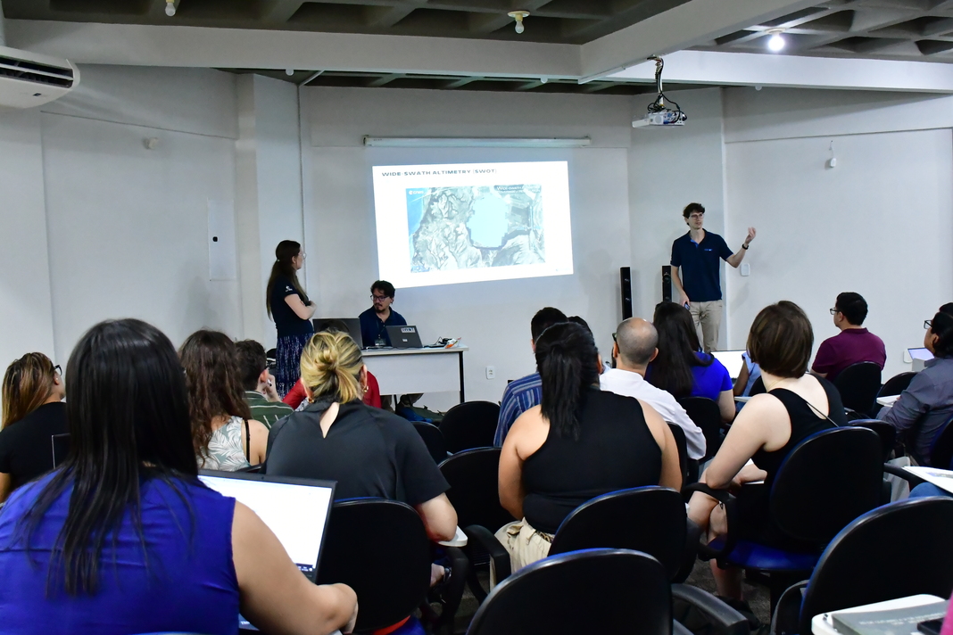
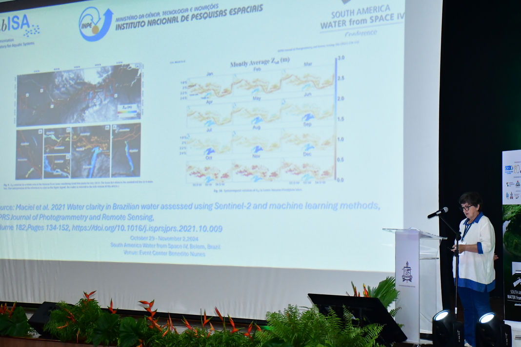
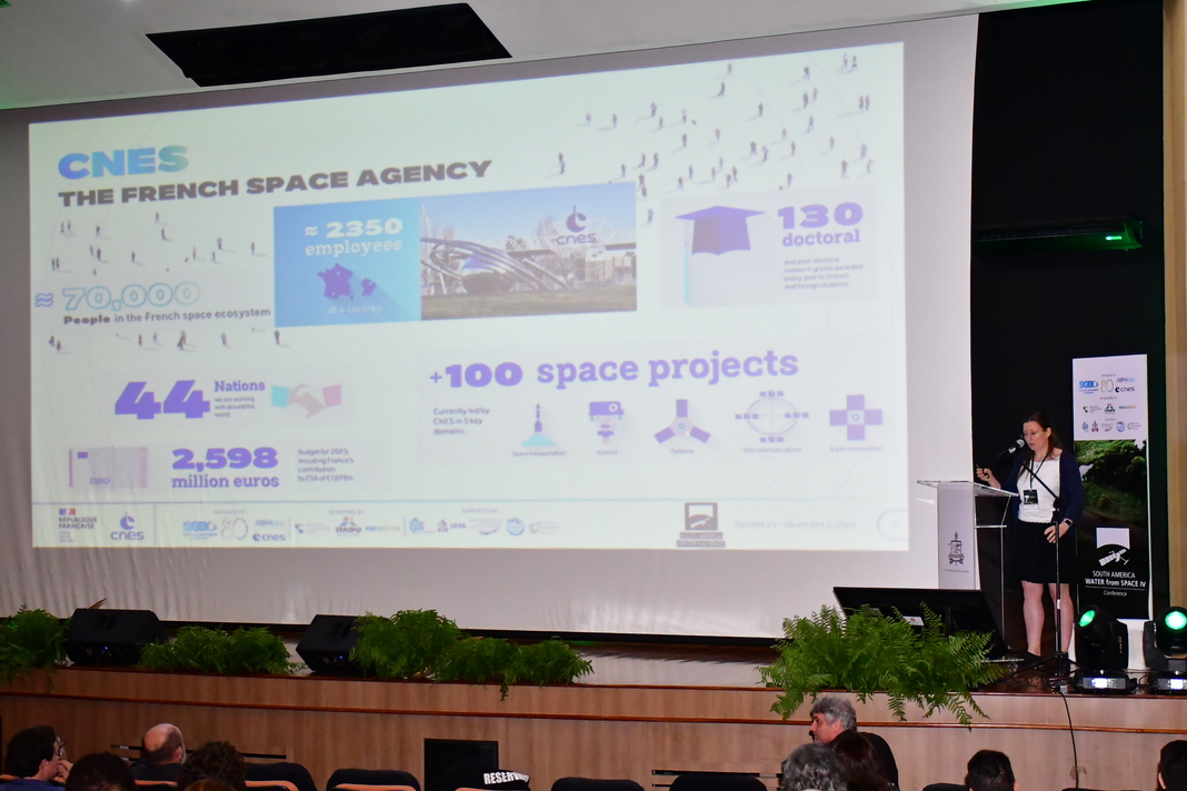
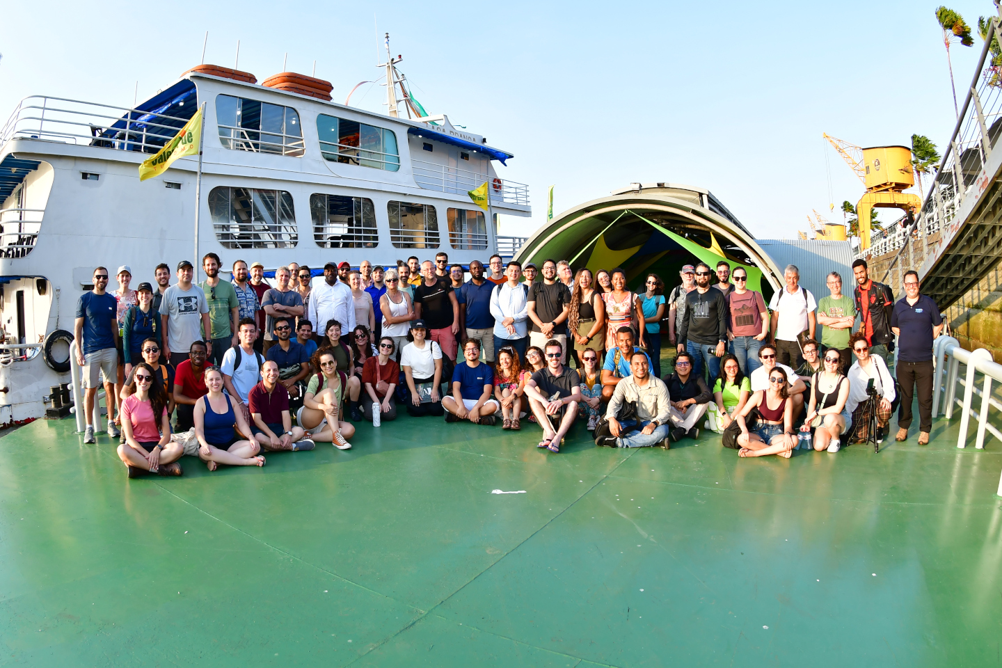
Official Event Photos
Credits : ©️South America Water from Space Conference / photographer: @marivaldopascoal

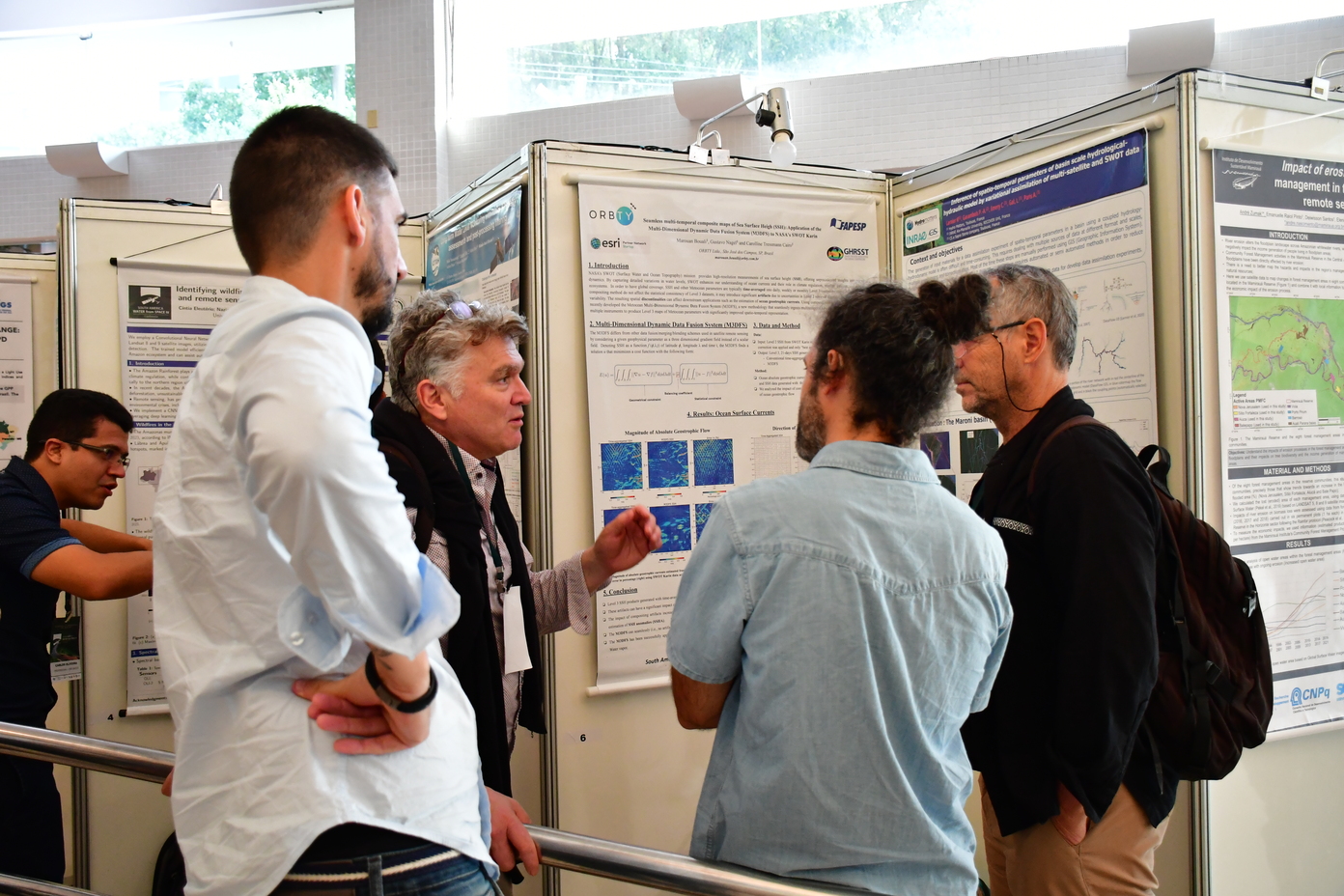
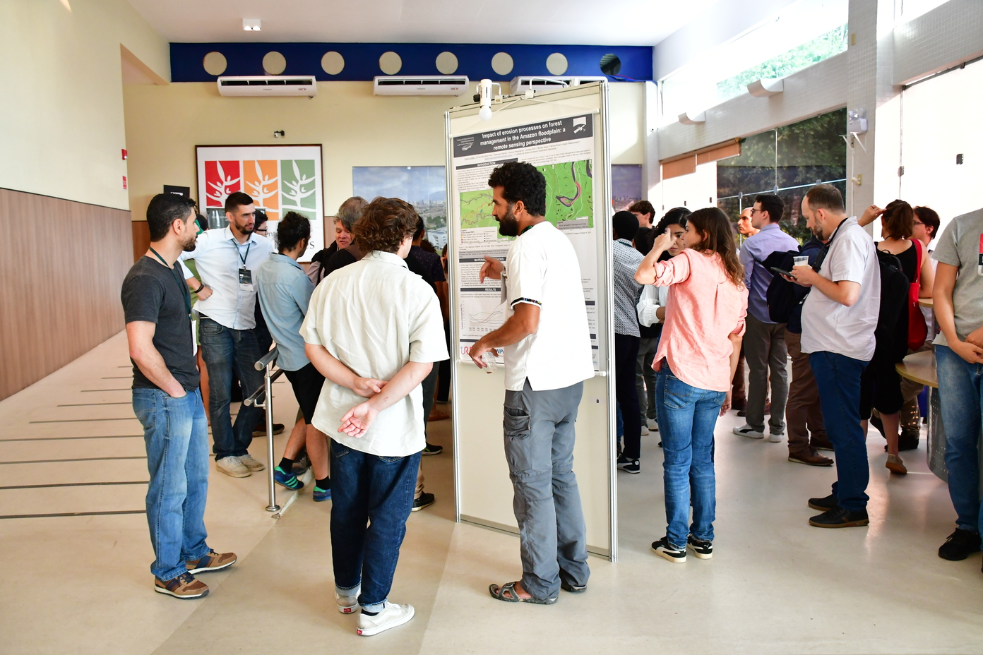
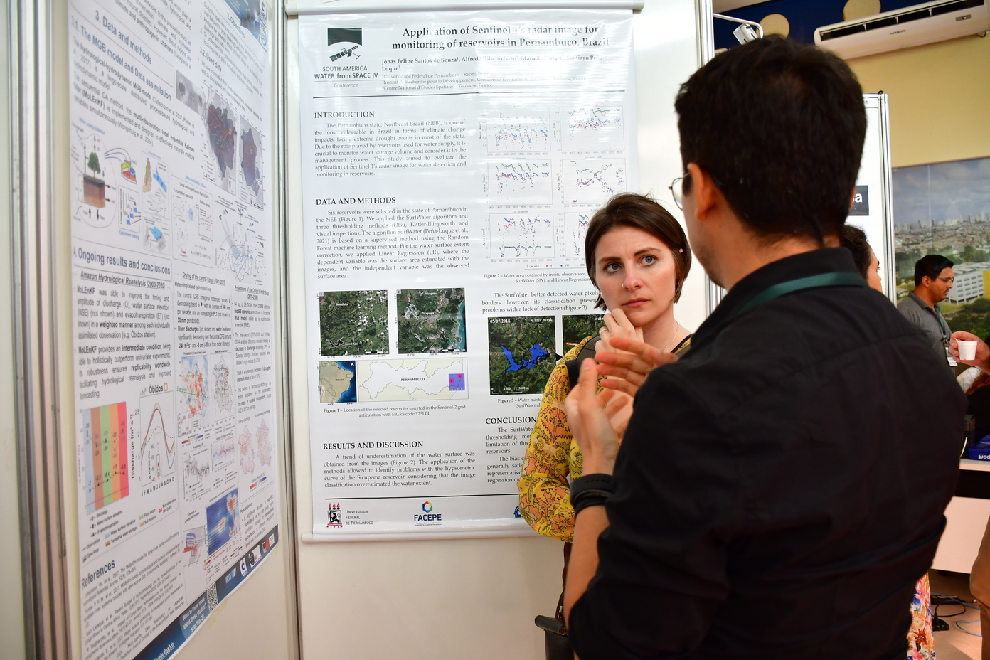


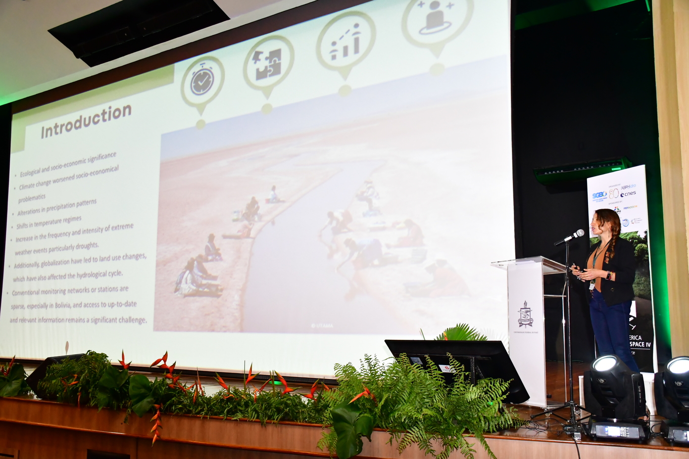
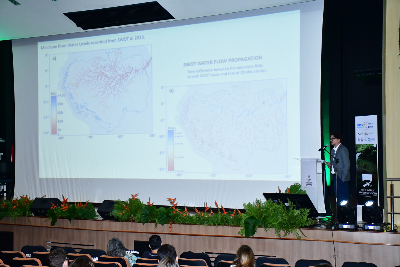
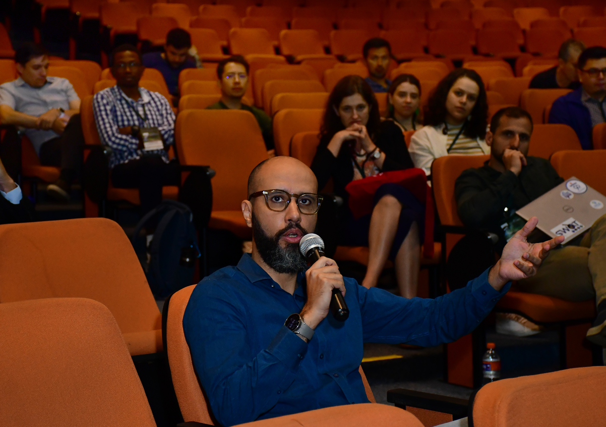
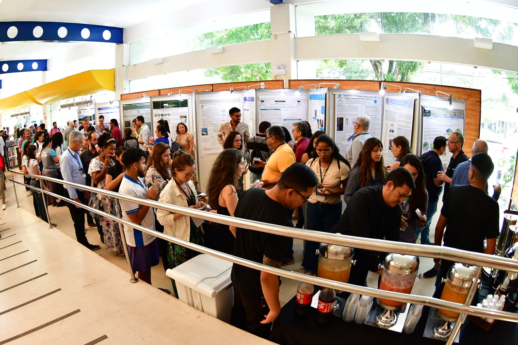
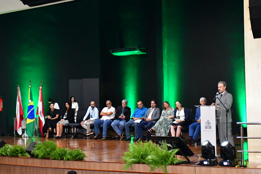
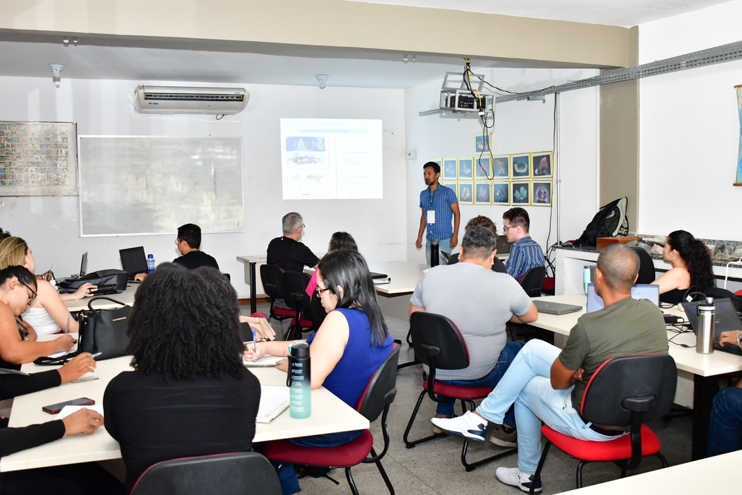
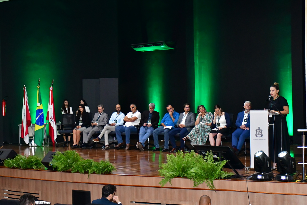
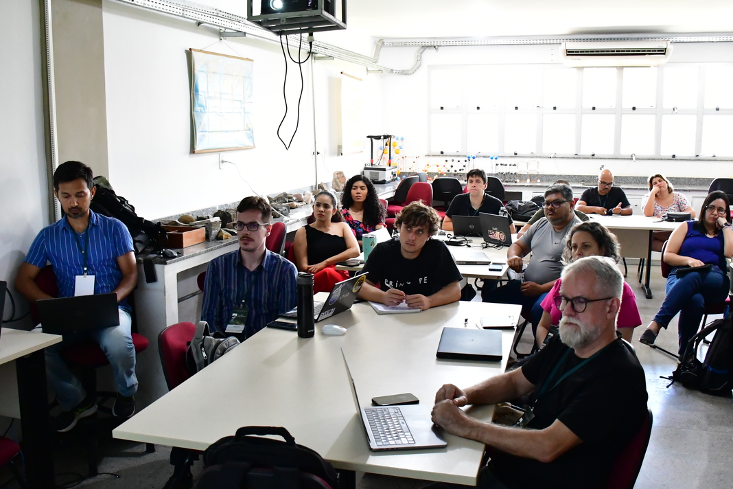
Surface Water Ocean Topography
Part of the conference will be devoted specifically to the advent of the new capabilities of the Surface Water Ocean Topography (SWOT) Mission (NASA, CNES, CSA and UKSA) and the possibilities provided by the current satellites of the European COPERNICUS space program. The objectives of the SWOT mission, launched on the 16th of December 2022, are to make the first global survey of the Earth's surface water at an unprecedented 1km² resolution, to observe the fine details of how terrestrial surface water bodies change over time.
Thus, presentations that show the benefits of high spatial resolutions around the globe, and that could serve as inspiration for South American research teams and/or operational institutions, or even upstream work, showing SWOT capabilities are particularly welcome. In the frame of the IRD-CNES initiative “ SWOT Early adopters from South America”, this conference will be jointly organized by IRD, CNES, CNRS, SGB, IT VALE, UFPA, MAMiRAUÁ , ITAIPU , IPH and ABRHidro.
